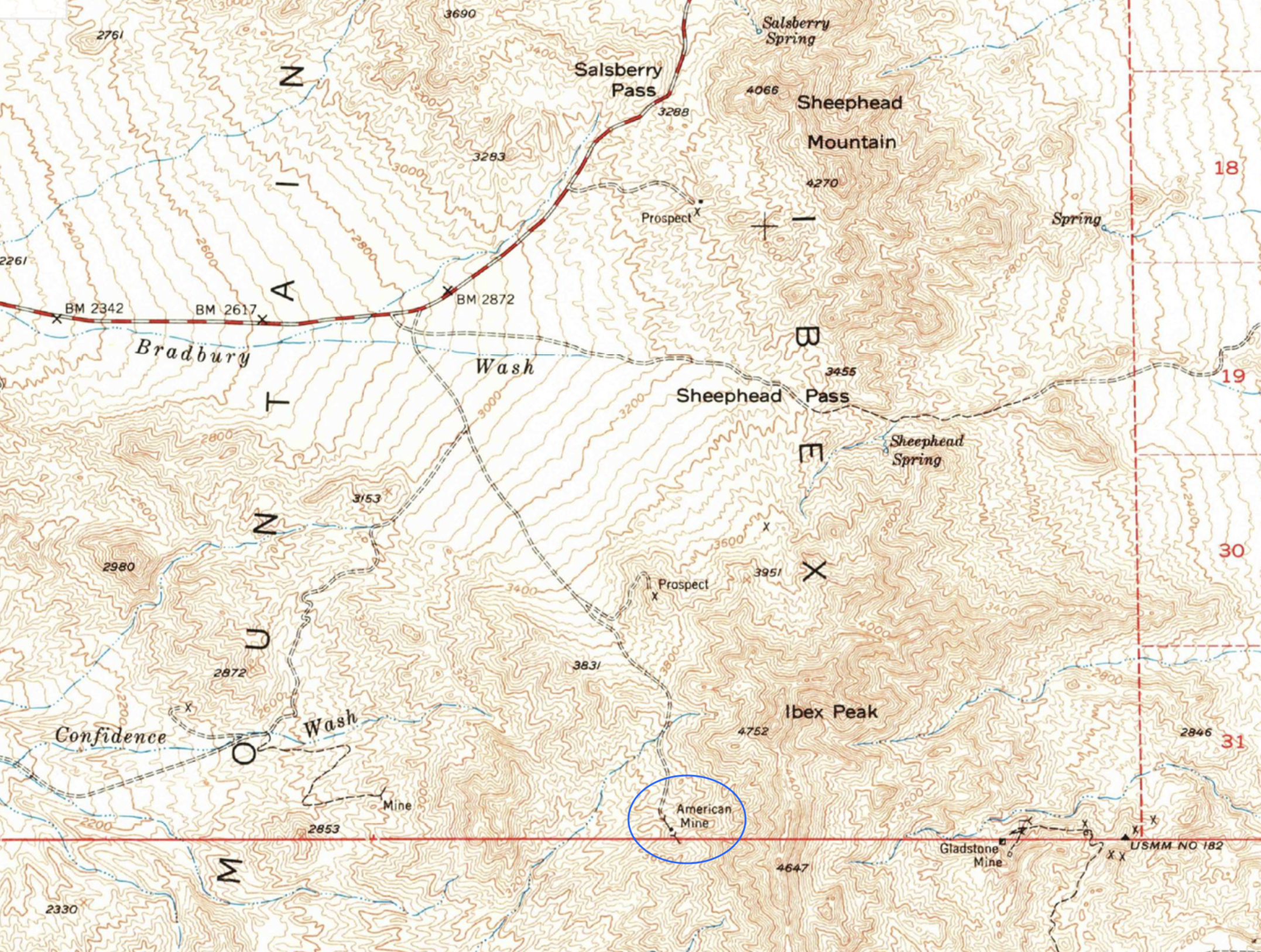
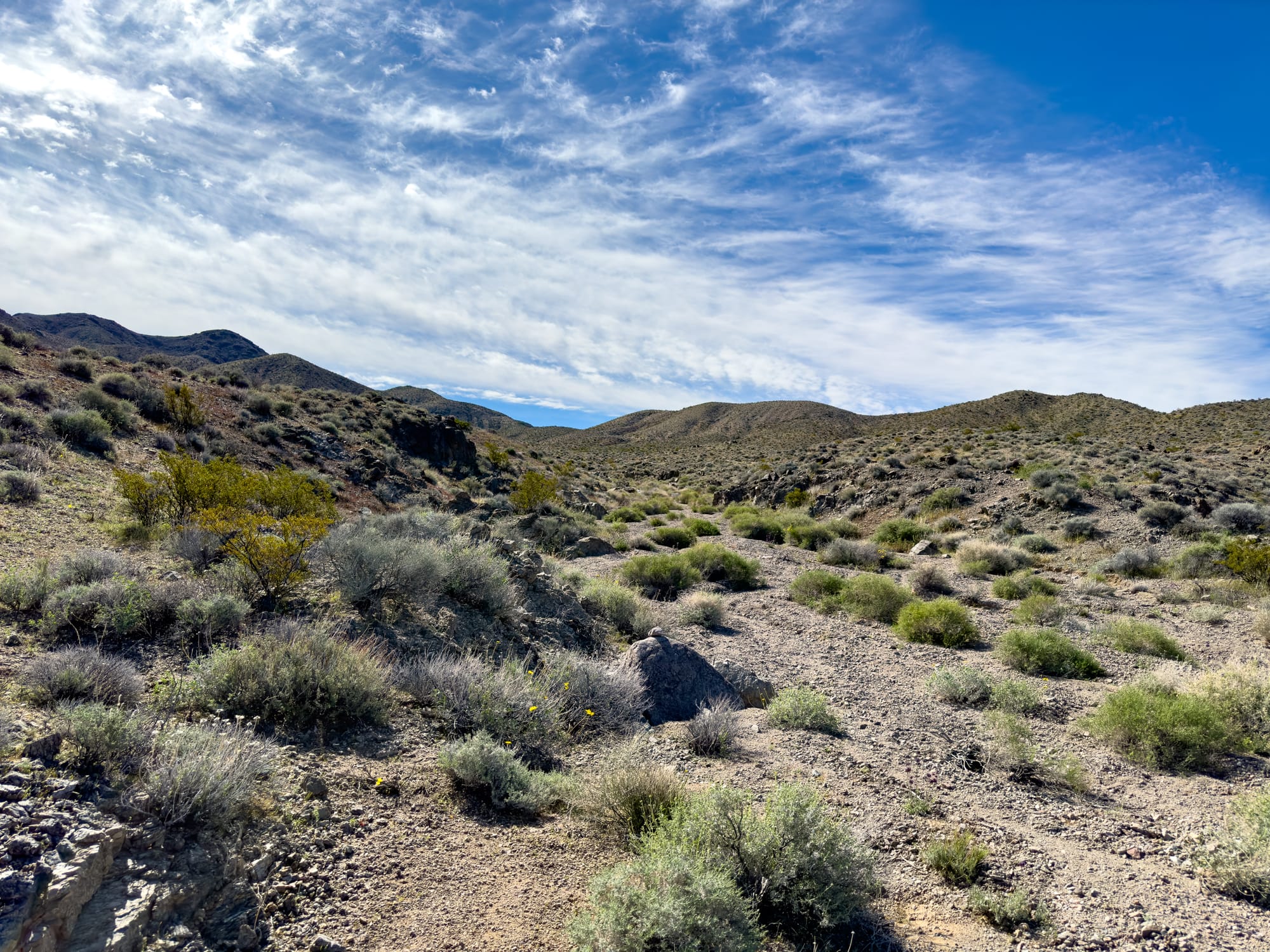
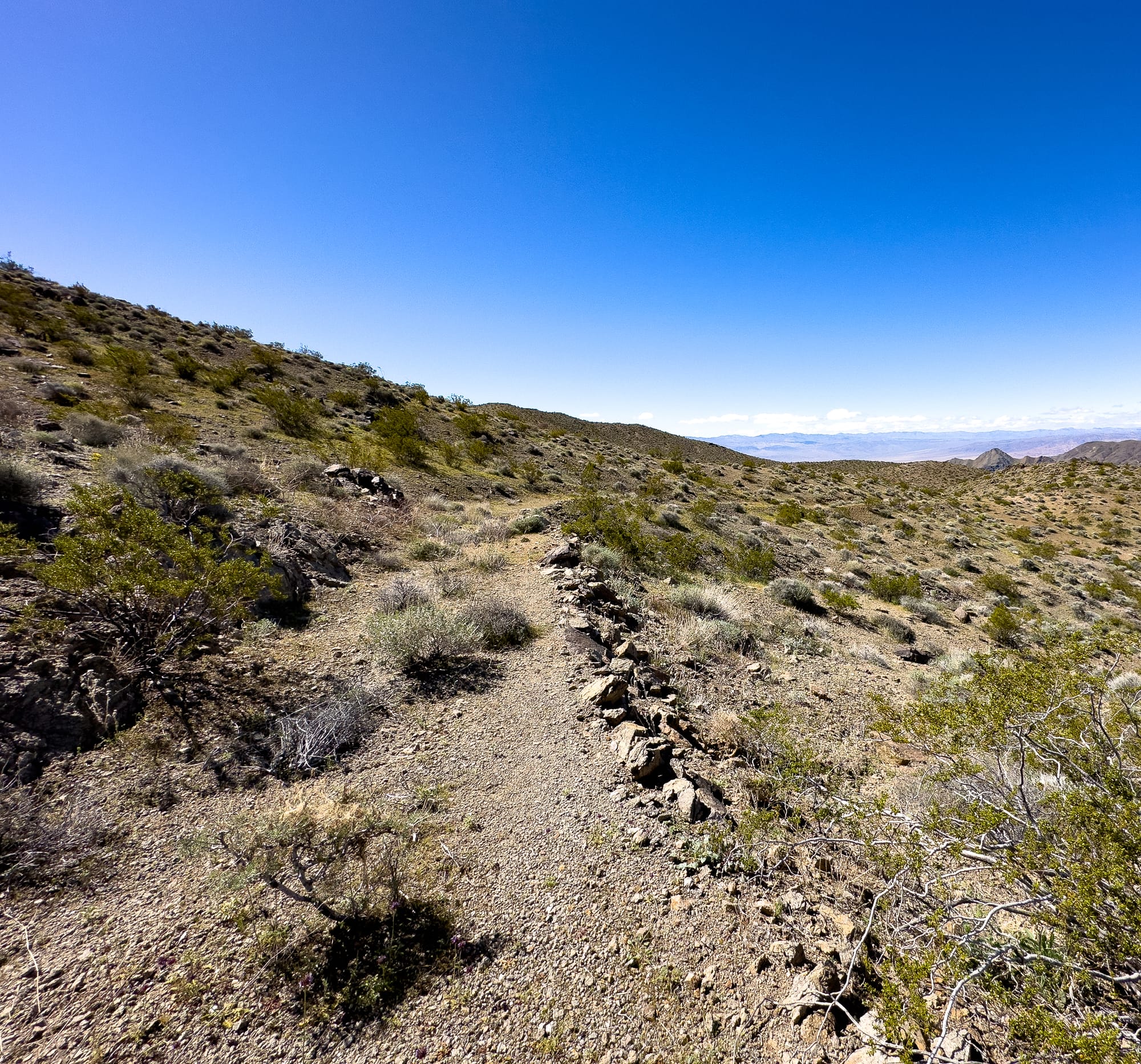
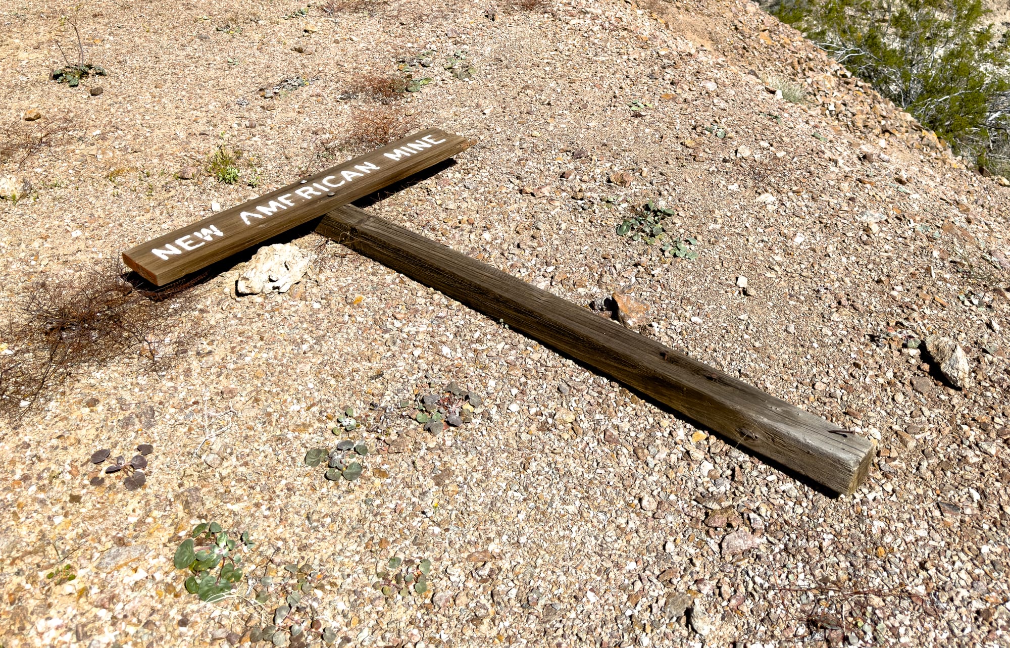
American Mine, Ibex Hills
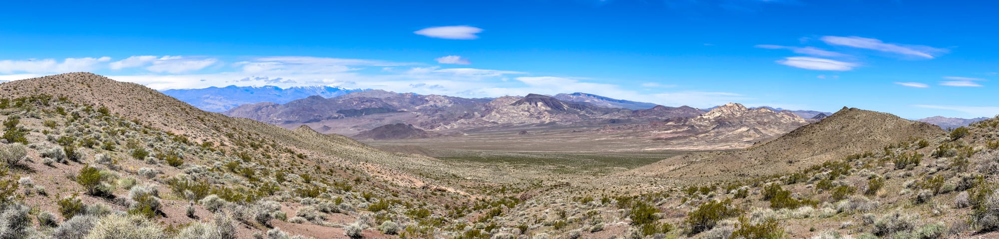
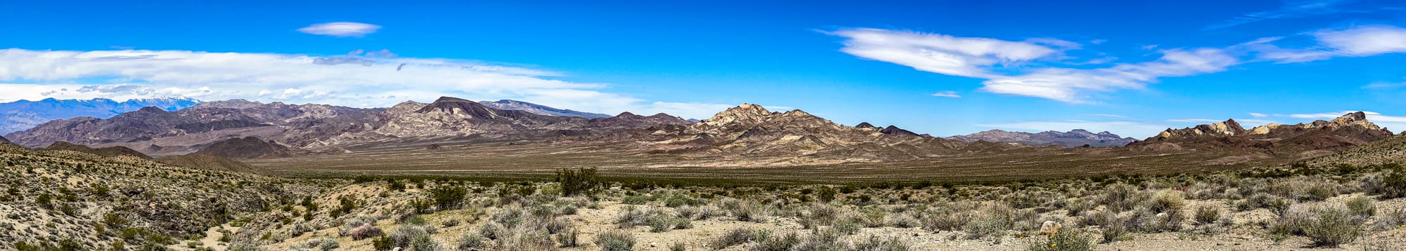
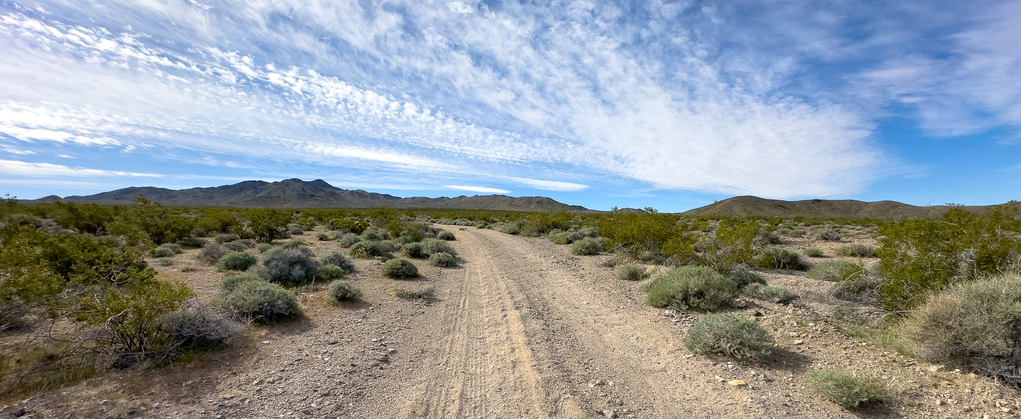
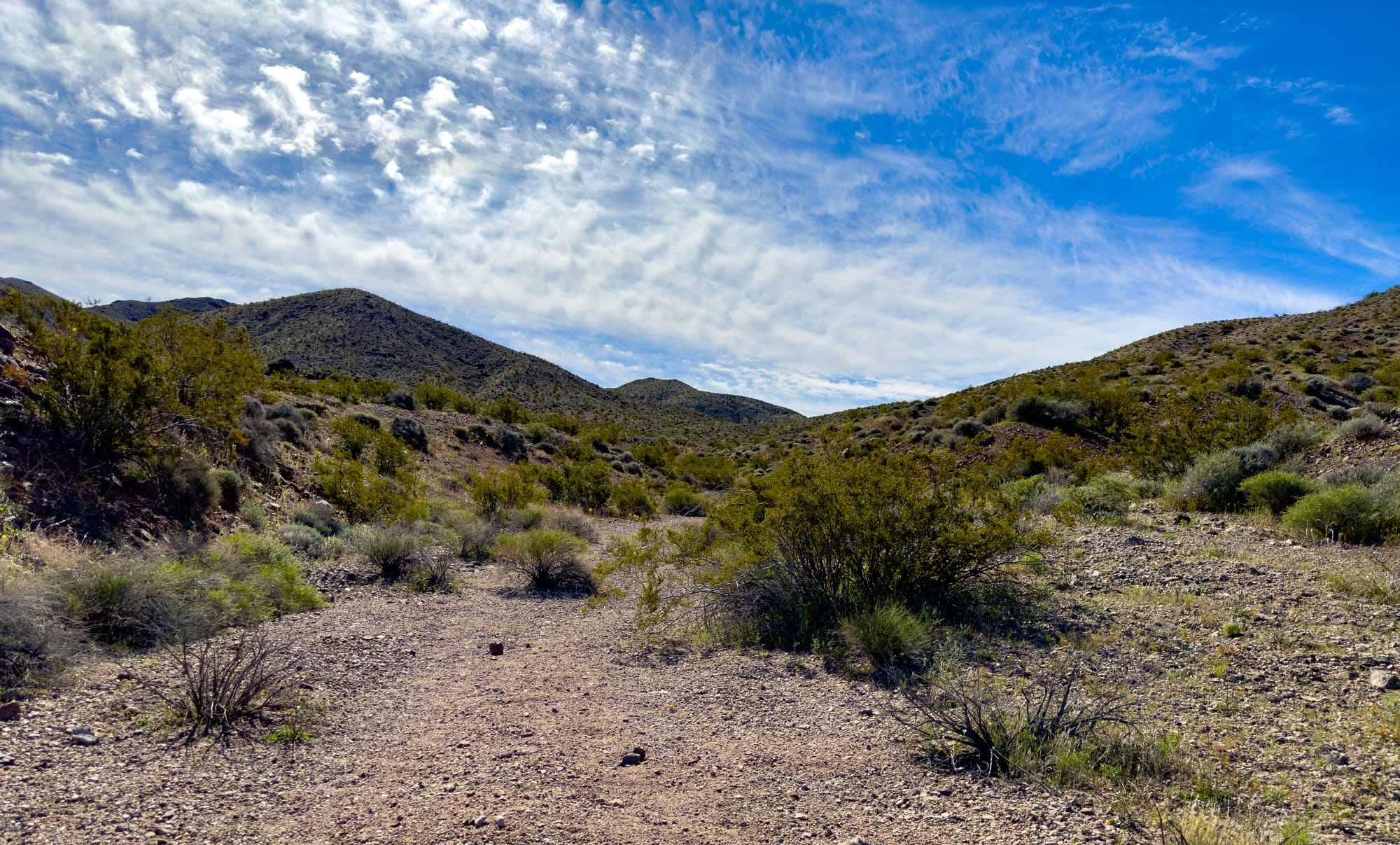
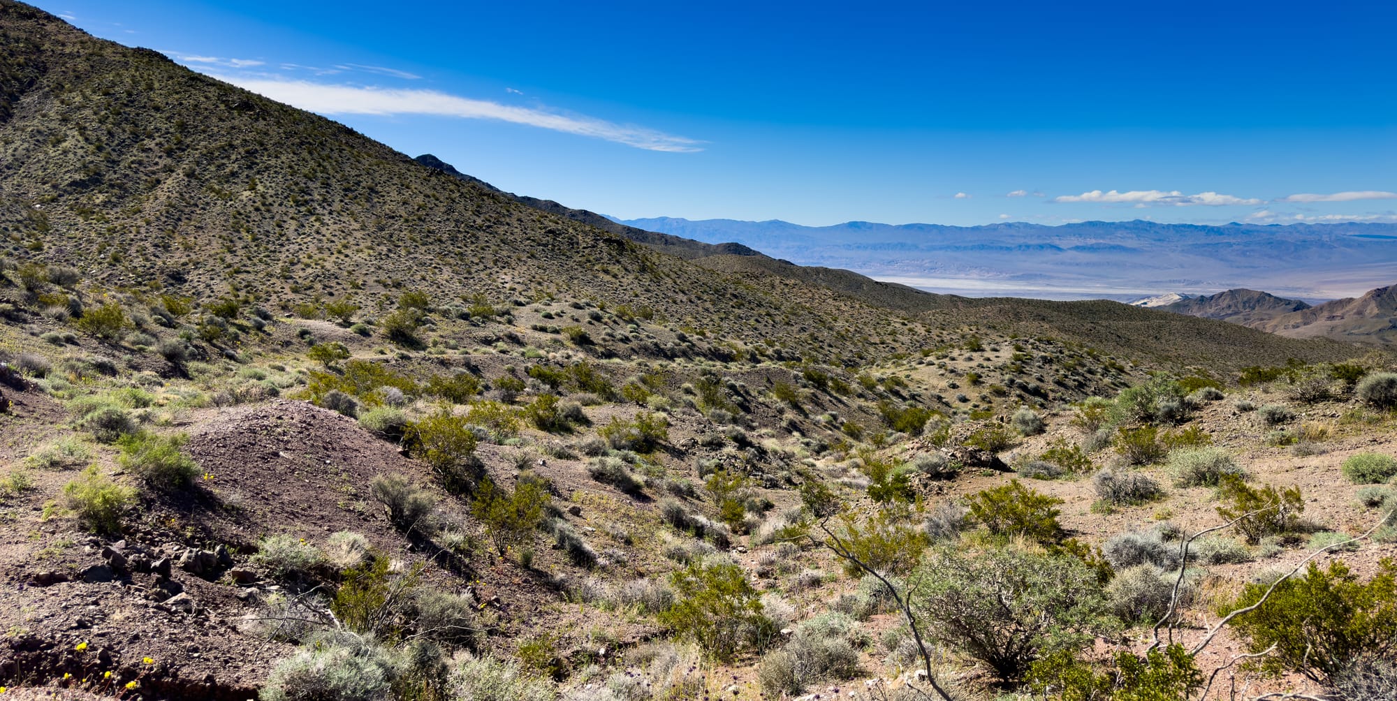
The Ibex Hills are a rugged and relatively isolated mountain range located in the southeastern part of California, situated on National Park Service wilderness land (Death Valley National Park/Death Valley Wilderness). This area is part of the Mojave Desert and is known for its dramatic landscapes and ecological diversity. The Ibex Hills rise sharply from the surrounding desert floor, creating a striking visual contrast with the arid plains below.
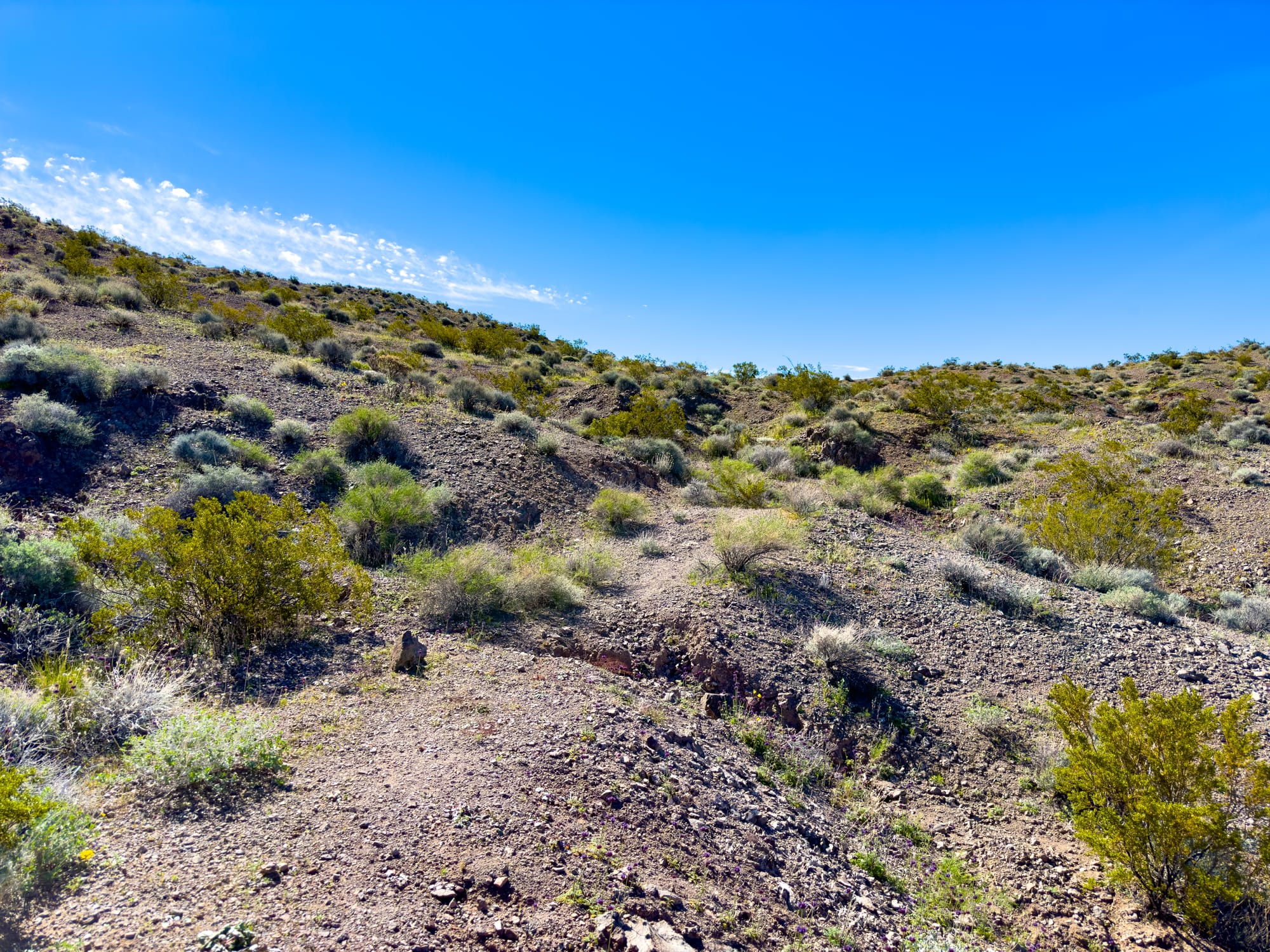
Geologically, the Ibex Hills are composed of a variety of rock formations, including sedimentary, metamorphic, and igneous rocks. These geological features have been shaped over millions of years by volcanic activity and tectonic movements, contributing to the diverse terrain that includes steep hills, rocky outcrops, and occasional flat valleys.
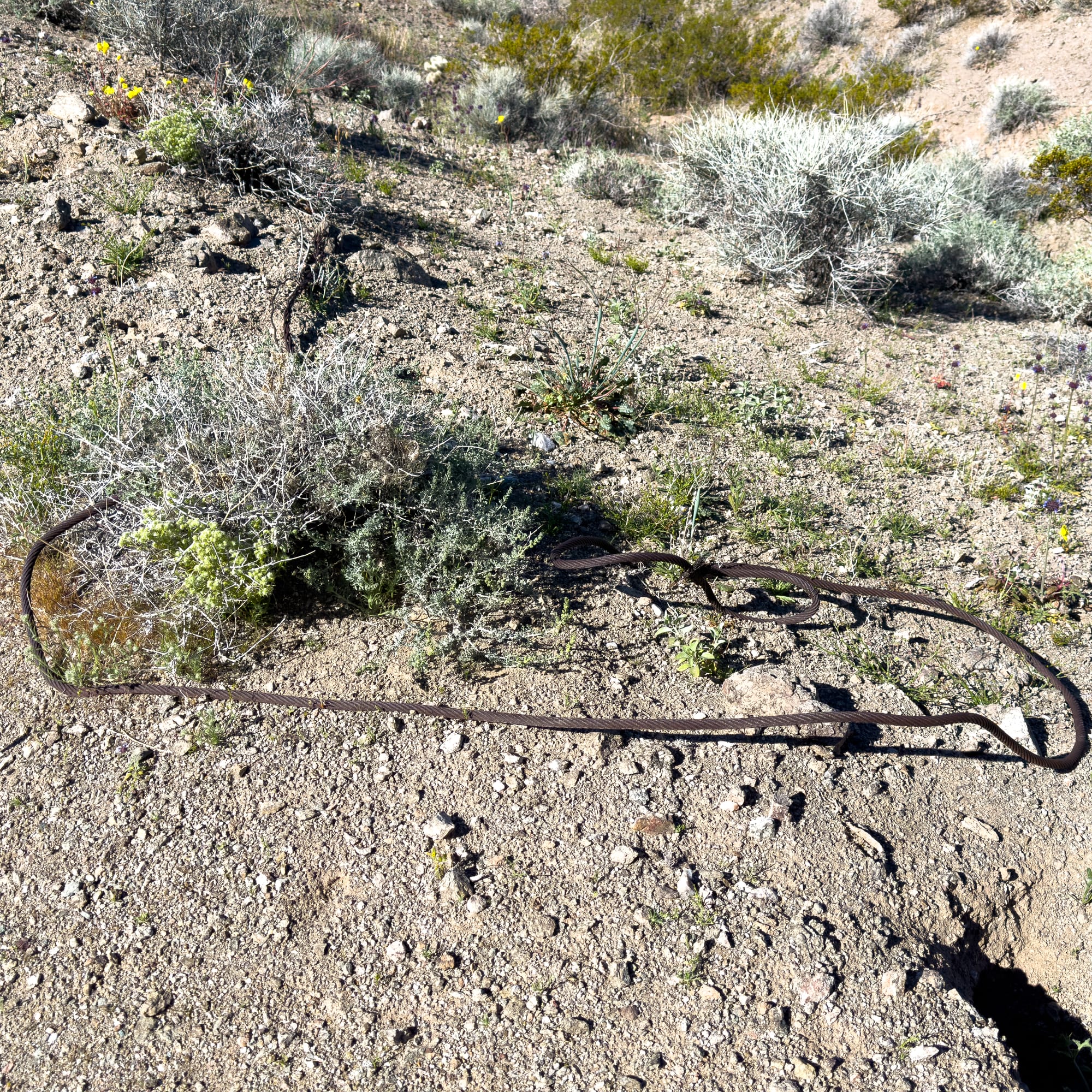
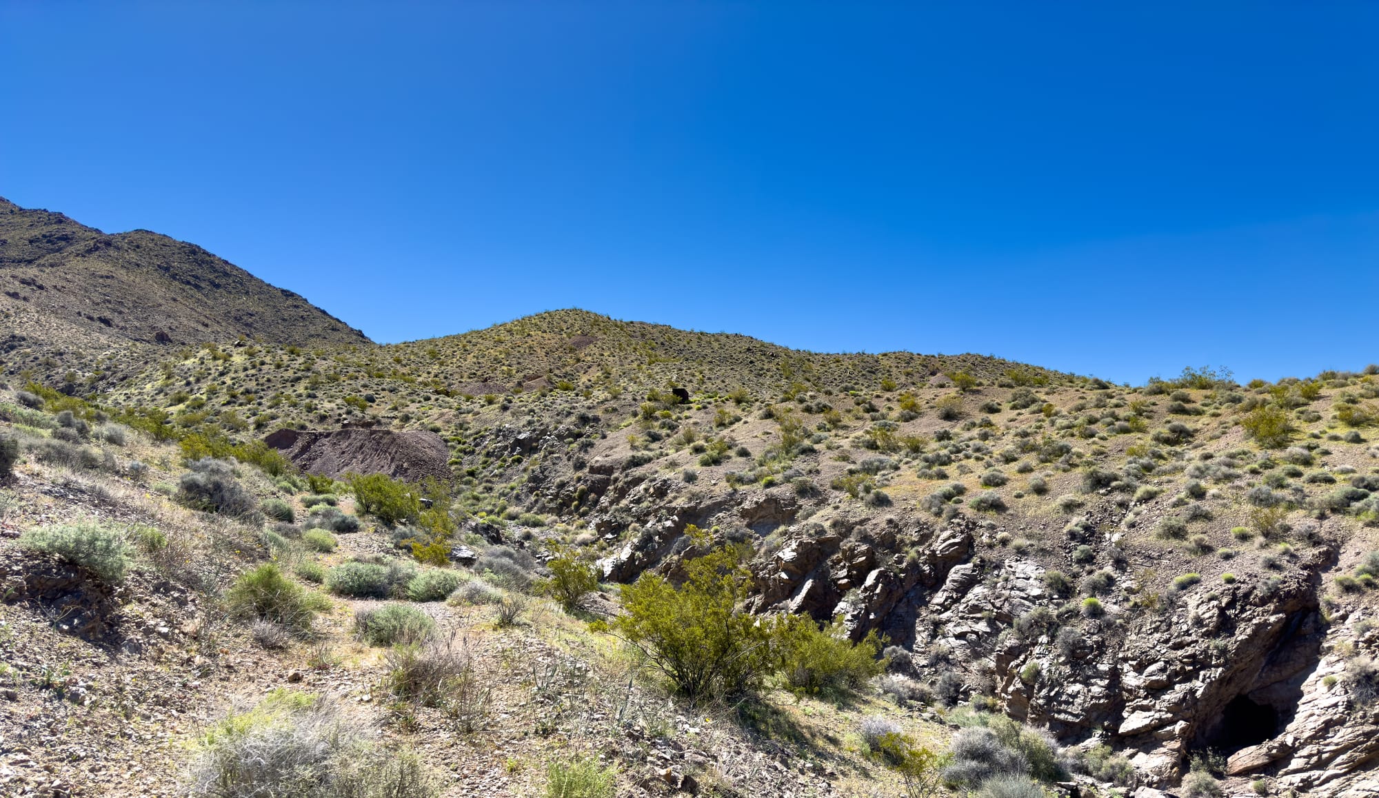
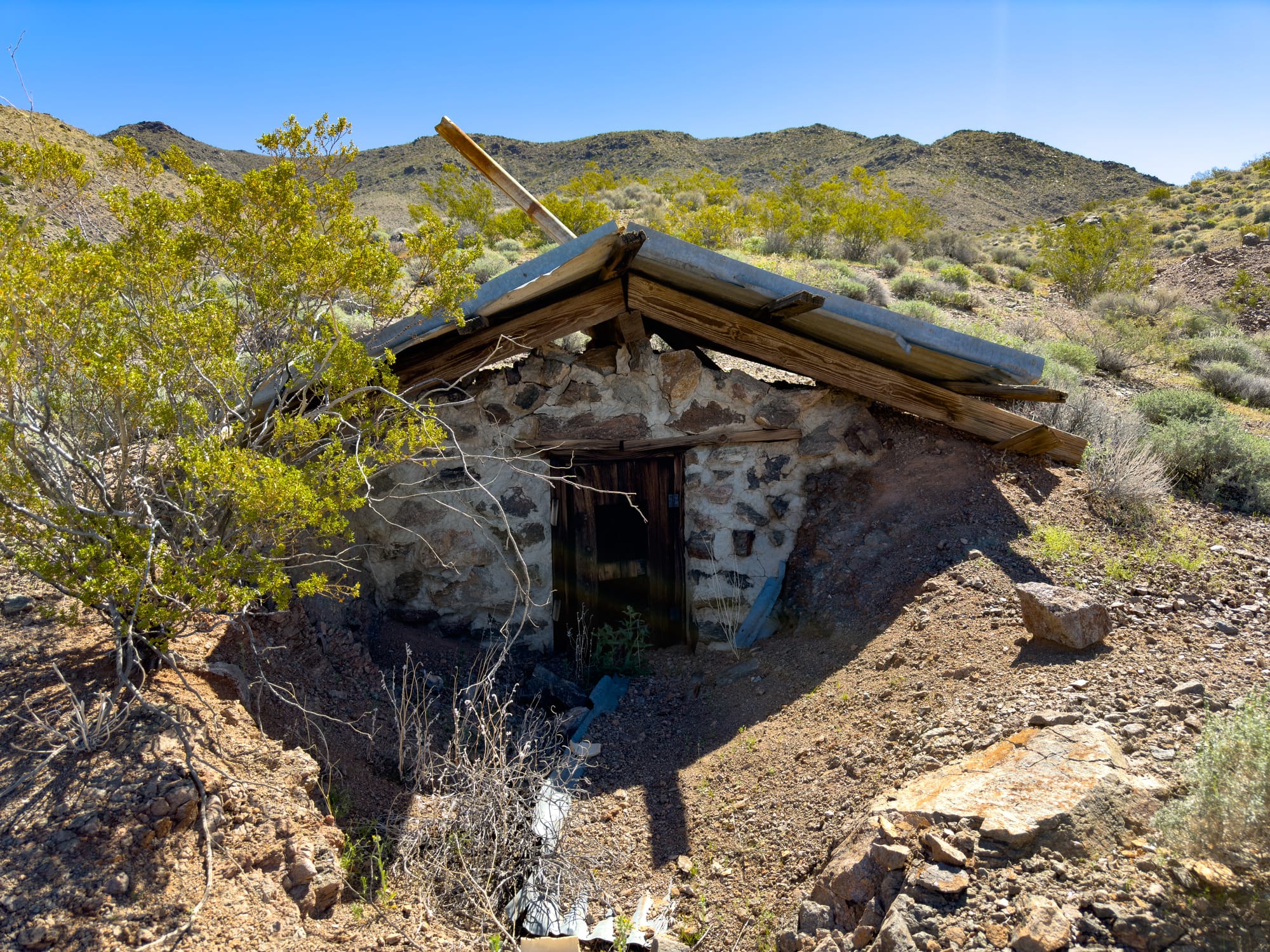
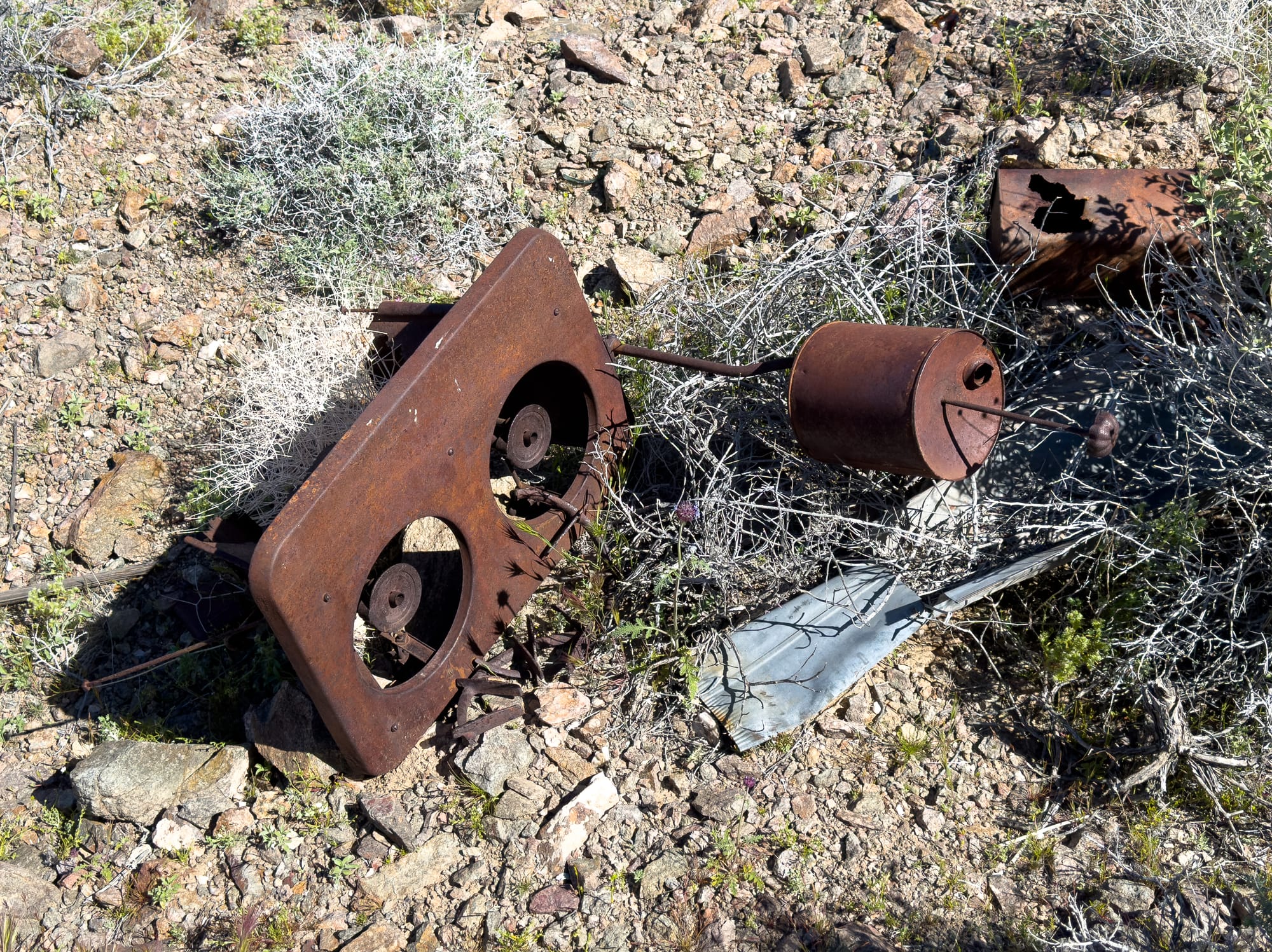
The area is not just significant geologically; it also has a rich history of mining activity, particularly for minerals such as gold, silver, and copper. This mining heritage dates back to the late 19th and early 20th centuries when prospectors and miners came to the region seeking fortune.
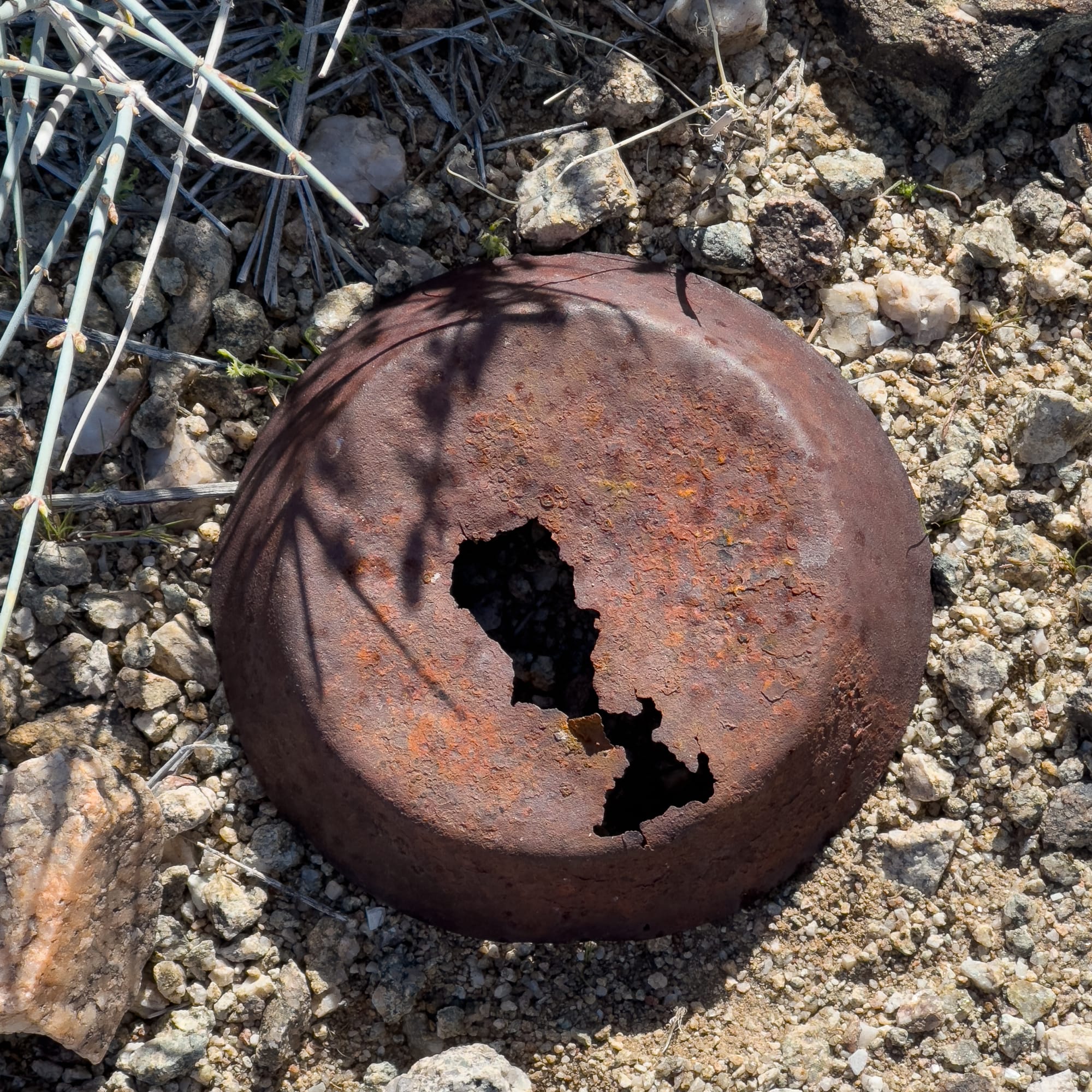
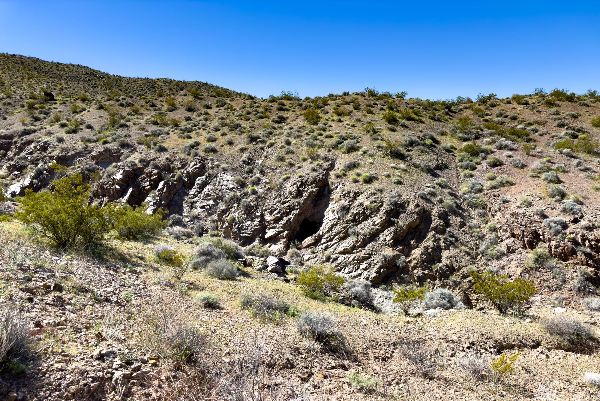
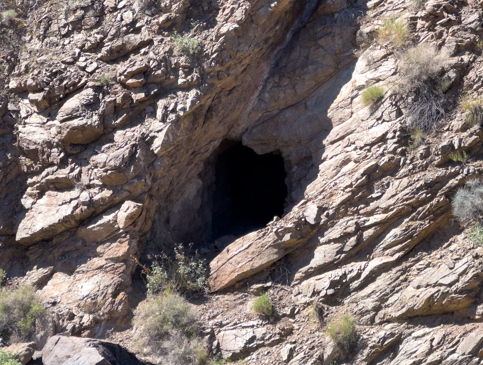
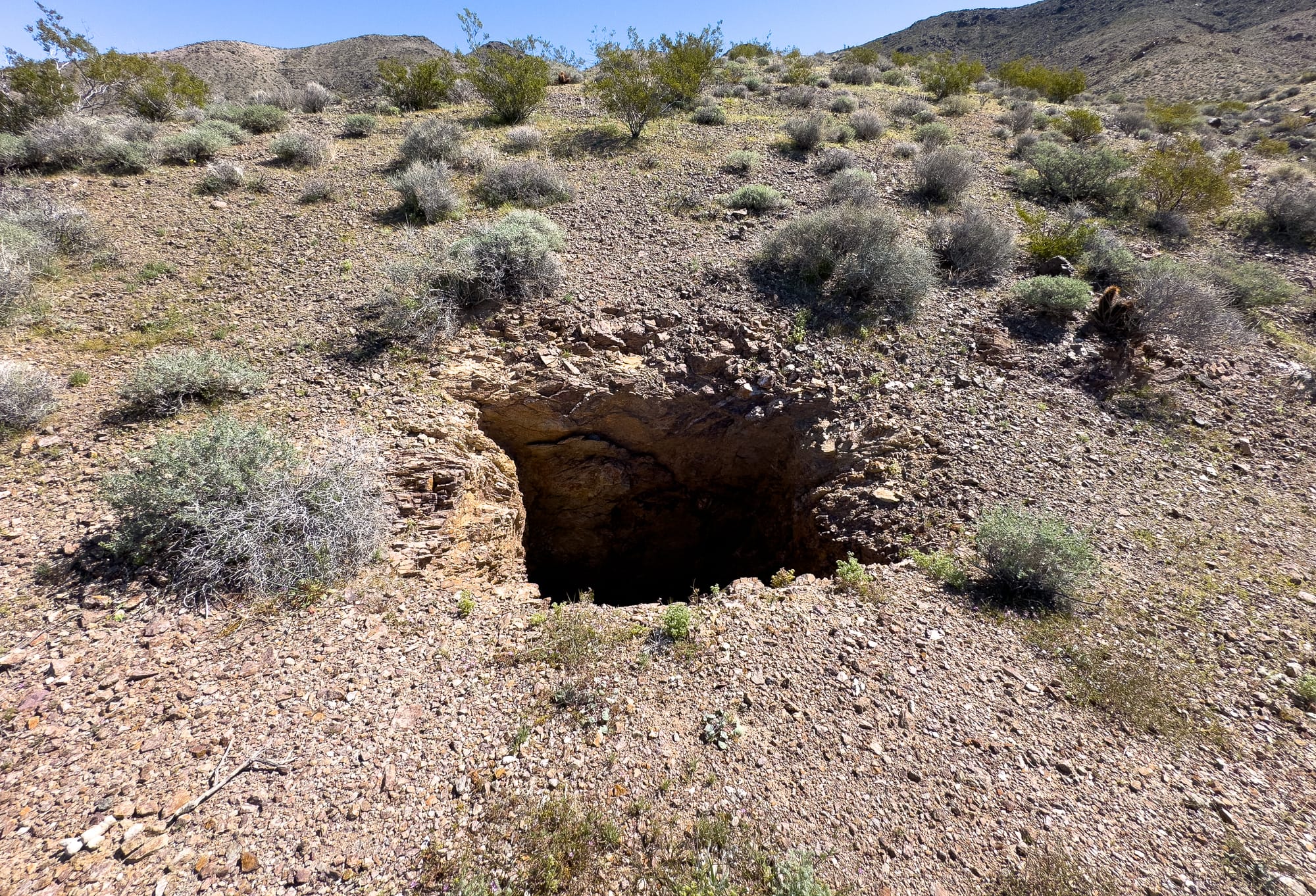
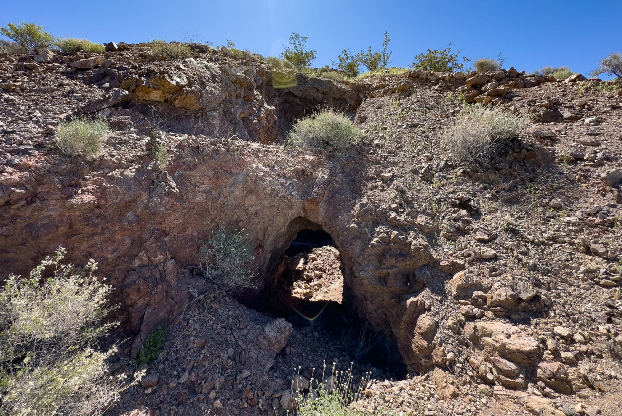
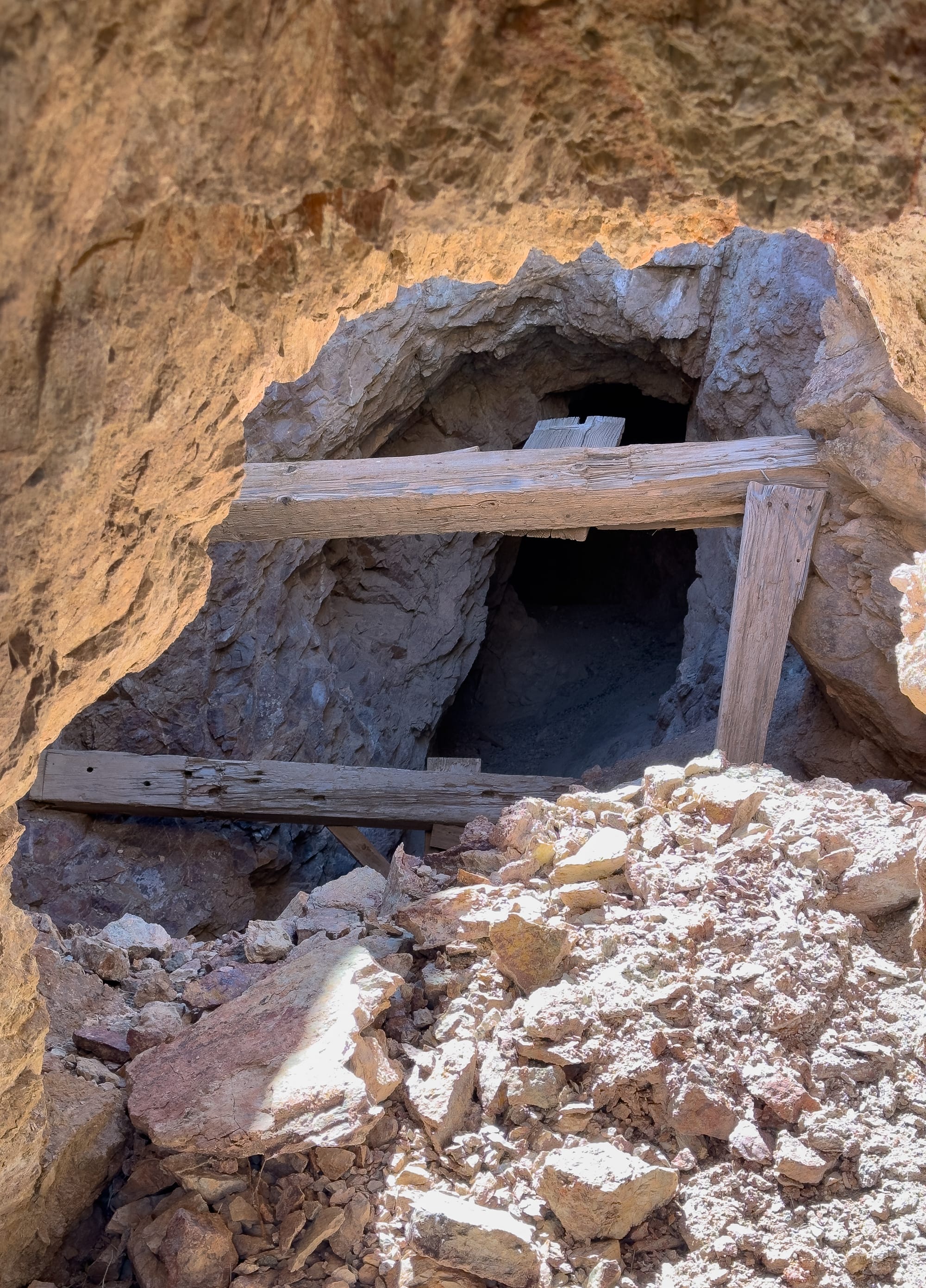
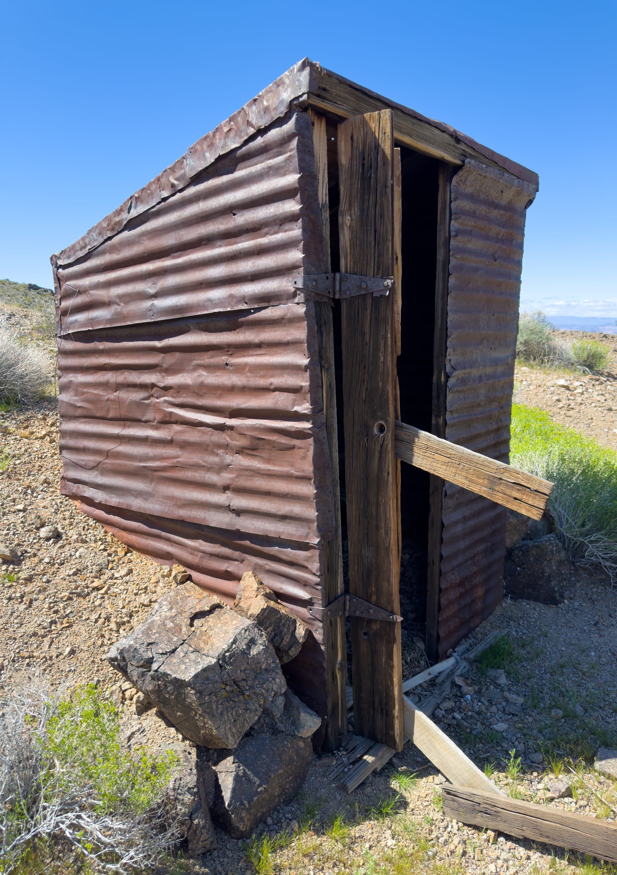
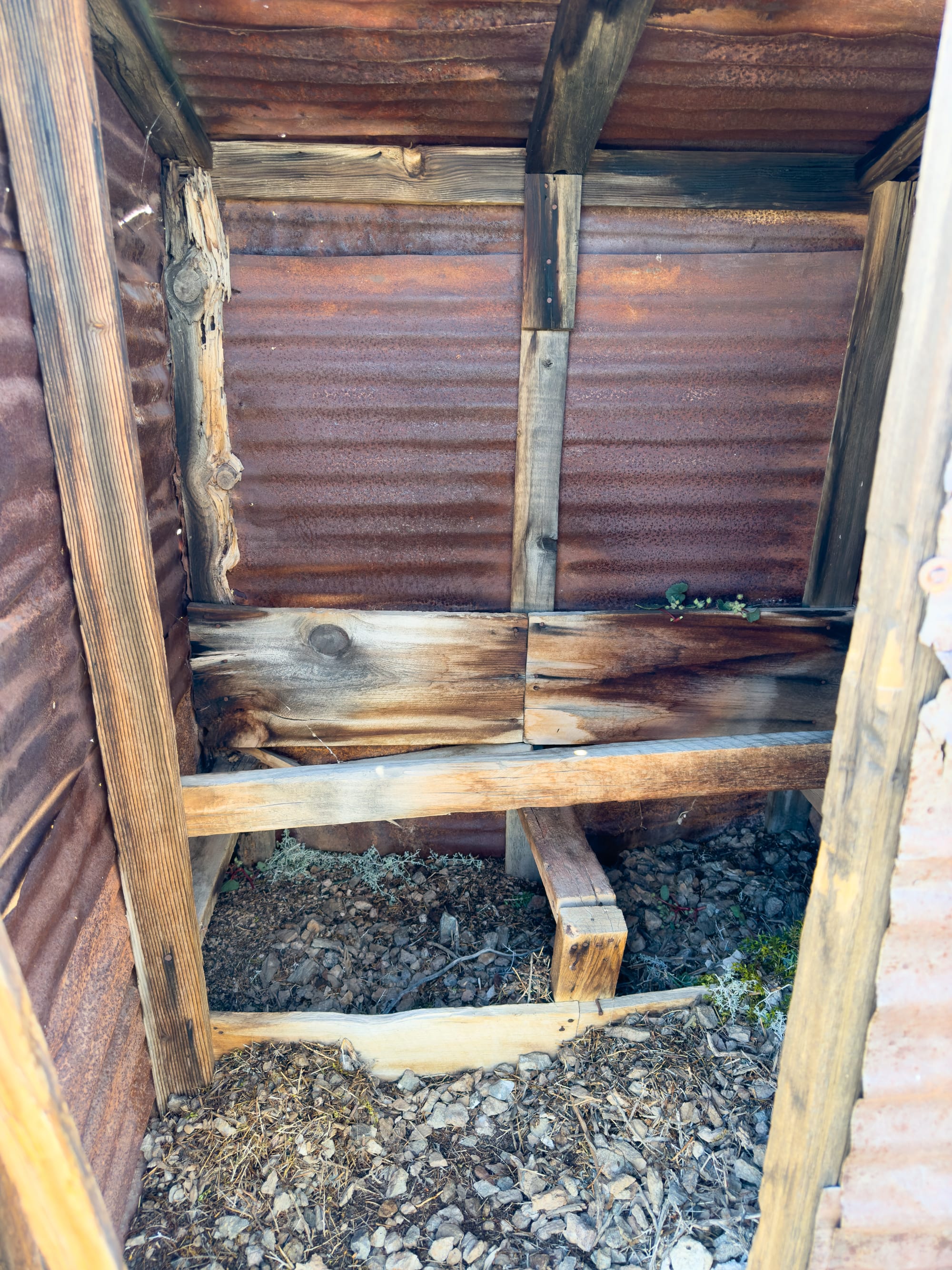
On this trip, we visited The American Mine which are a former copper-gold-silver mine located in section 5, Township 20N, Range 5E, San Bernardino Meridian, approximately 0.7 miles (1.1 kilometers) southwest of Ibex Peak. The property consisted of five claims.
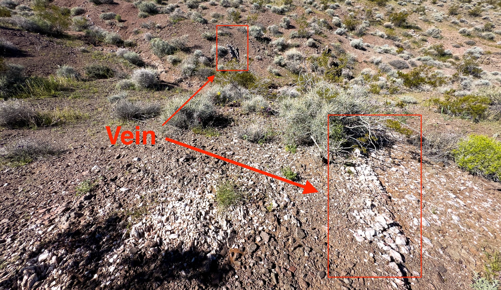
Mineralization involves a vein deposit hosted in monzonite. The ore body measured 2 feet (0.61m) in thickness. The ore was found within a narrow barite vein situated in a thin belt of schist at the contact point between monzonite and granite. The local geology includes Precambrian rocks, undivided, unit 1 (Death Valley).
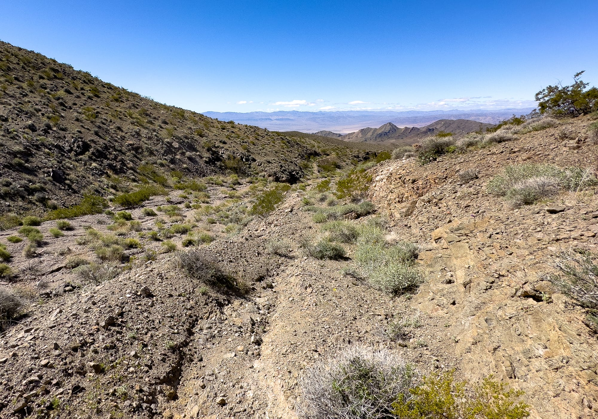
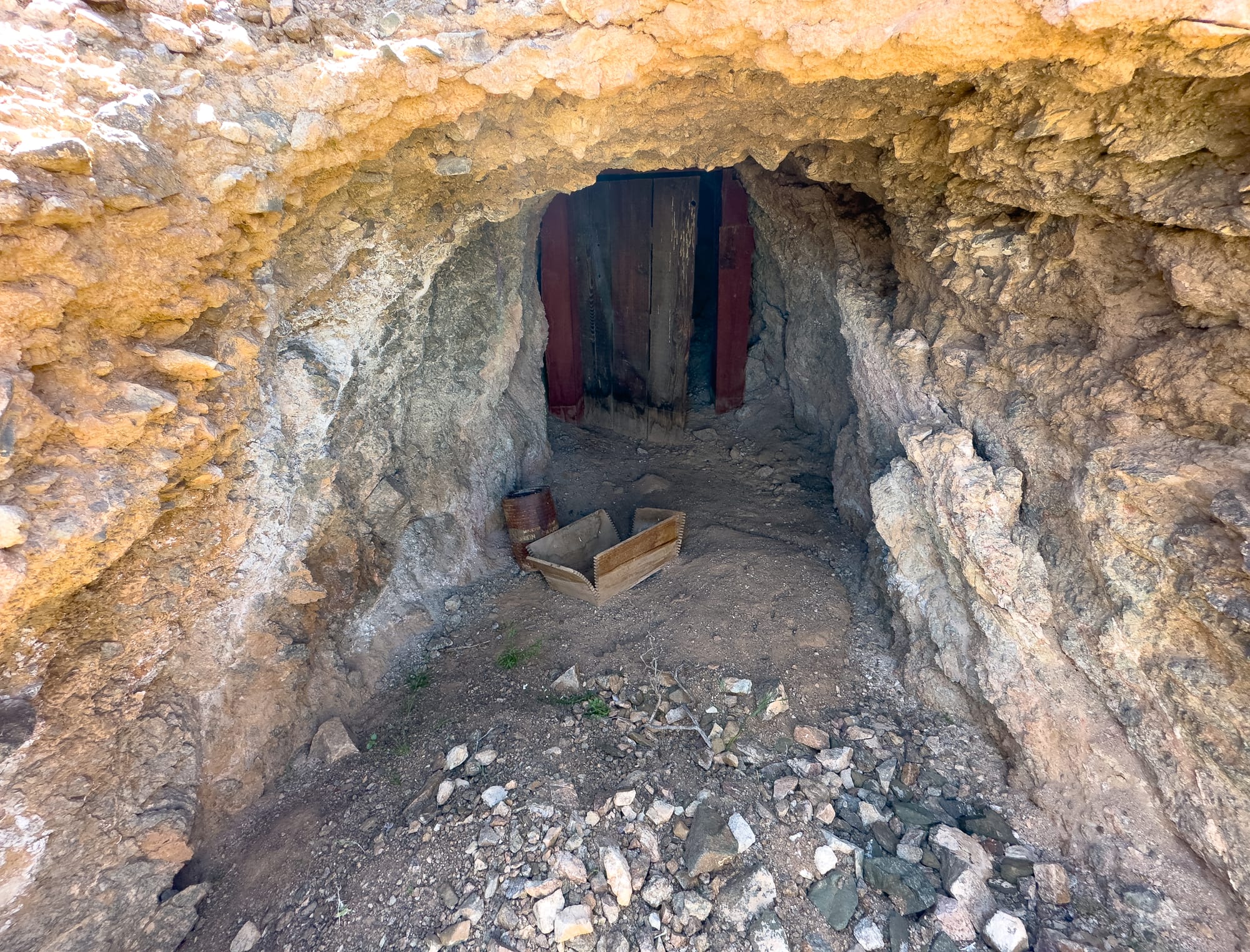
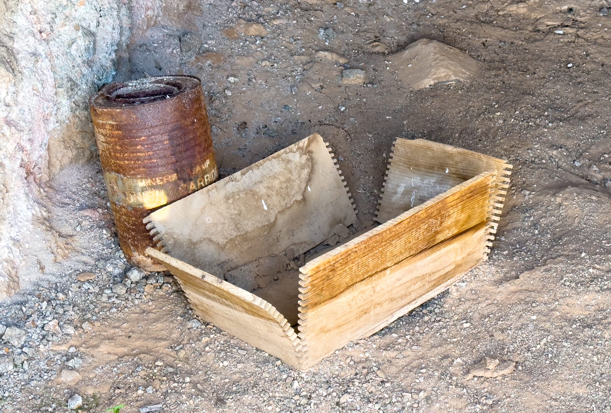
Mining operations comprised underground openings with several tunnels. Two of these tunnels measure 800 feet and 200 feet in length, respectively. Above the 200-foot tunnel, there is a stope measuring 20 feet in length and 50 feet in depth, extending to the surface.
Between 1937 and 1938, the mine shipped high-grade silver ore, which yielded over 100 ounces of silver per ton. Production statistics for the year 1914, covering the period from 1906 to 1914, include an estimated 4% copper, 15 ounces of silver per ton, and gold valued at $4.00 per ton (period values).
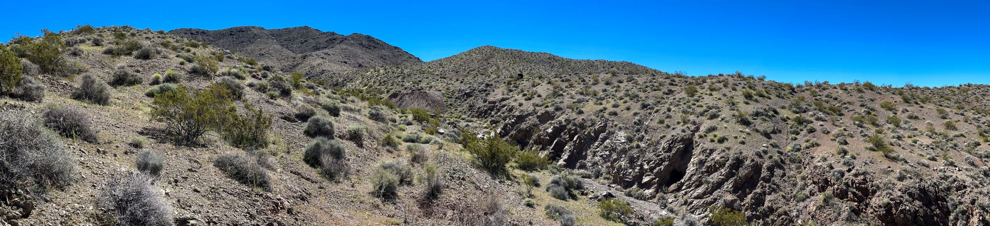
On the way out, we got some great views of the Amargosa Chaos. The geological landscape known as the Amargosa Chaos in Death Valley is characterized by a highly faulted zone, with a mosaic of fault-bounded, typically gigantic blocks derived from a stratigraphic succession. These blocks are arranged in proper stratigraphic order but occupy only a small fraction of the thickness of the original succession. This area exemplifies extreme crustal extension, a term first coined by Levi Noble in 1941.
Sedimentary rocks, predominant in this region, traditionally follow rules that dictate their formation and stacking. However, the extensive faulting and shuffling in the Chaos disrupt these norms, making geological mapping and understanding challenging. This complexity is evident as many sedimentary rocks still maintain depositional contact with the basement, despite being massively dislocated by fault movements.
Field observations reveal that the geological history of the area includes intense mountain-building periods that crumpled and broke the rock beds. These rocks were originally deposited as horizontal layers in a shallow ocean or coastal area about 600 million years ago, during the Proterozoic Era, before undergoing significant geological transformations over millions of years.