Bald Peak Mine, Wildrose District: More Than Just Talc?

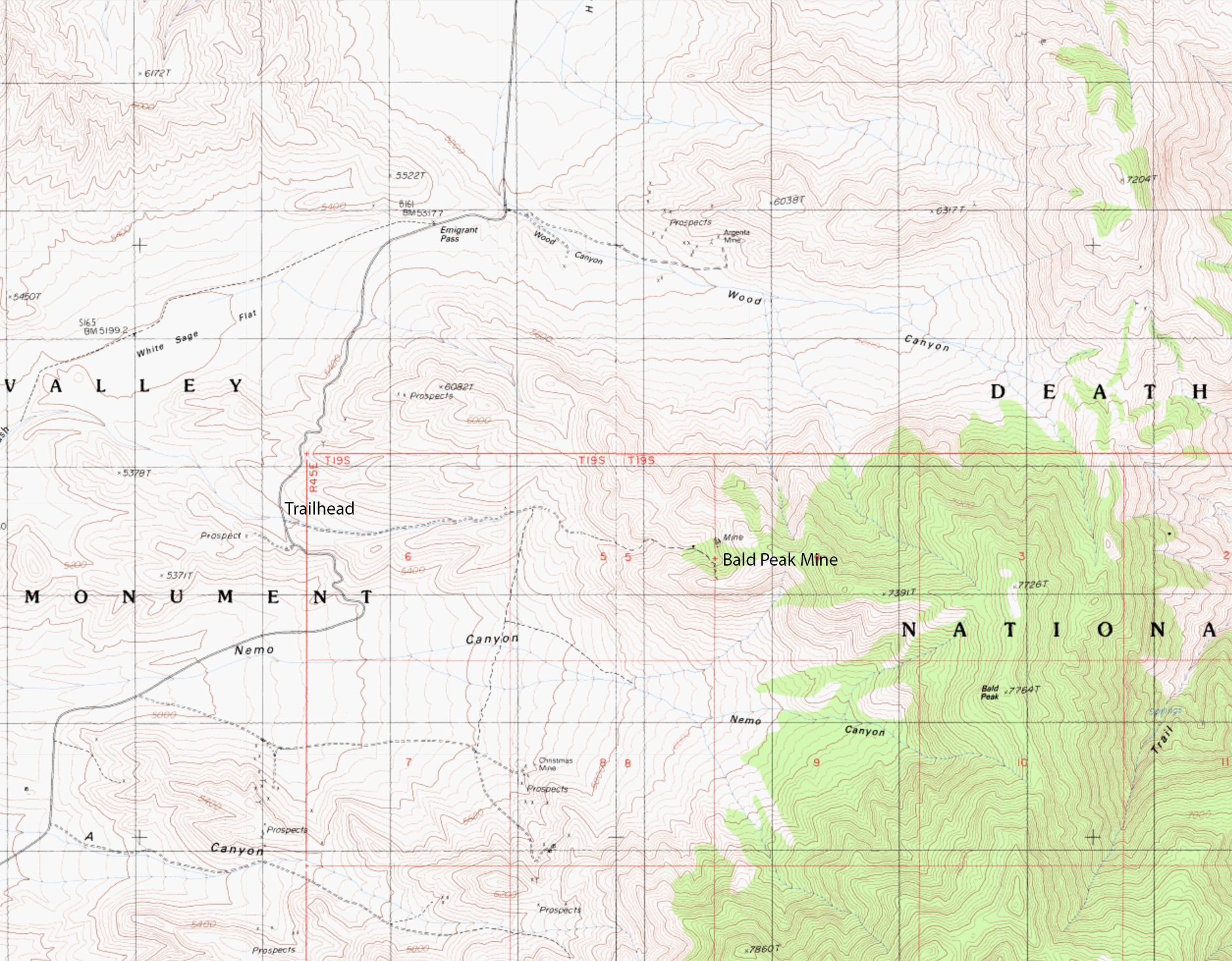
The Bald Peak Mine is one of the more obscure mining sites in the Wildrose Mining District in the Emigrant Canyon area of Death Valley National Park. It's a former talc mine (we'll get into that more because I don't fully agree) located in section 4 (on the section 5 boundary) of T19S, R45E, MDM, 1.6 miles WNW of Bald Peak, just north of Nemo Canyon.
Unlike nearby operations such as the Argenta Mine, there is very little surviving documentation on the property, and much of what is repeated today traces back to a single National Park Service survey conducted in the 1970s.
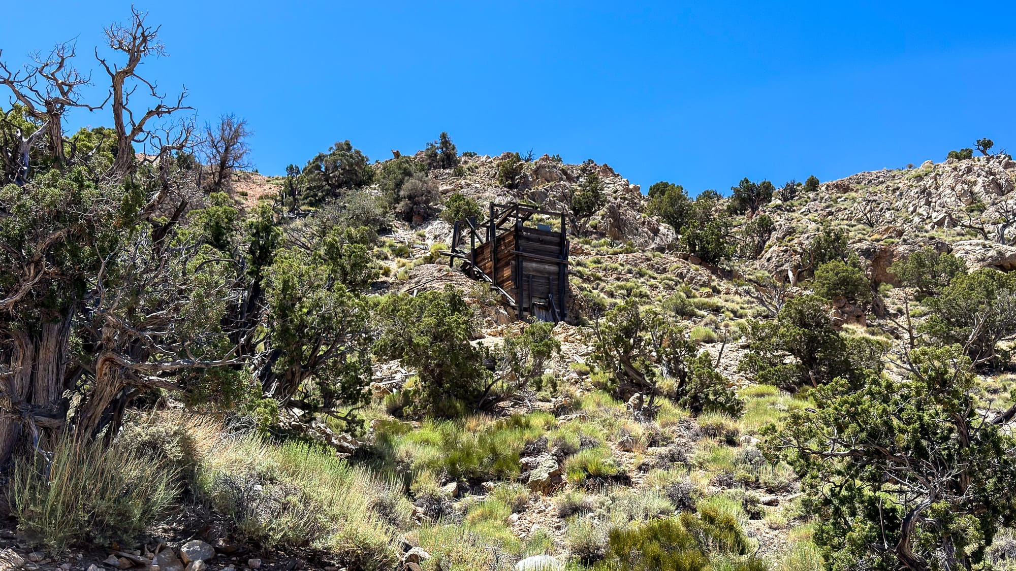
According to the National Park Service's historical inventory of Death Valley mining sites, the property was inspected in December 1975 by Bill Tweed and Ken Keane. They described a wooden-framed building clad in corrugated metal, a level platform supported by a corrugated metal retaining wall, and a one-chute ore bin located farther up the canyon. The workings themselves were situated above the ore bin on a steep hillside.
Based on what they observed, Tweed and Keane concluded the site appeared to be a talc operation, probably dating from the 1940s or 1950s. The report notes that little information could be found about the property and concludes that production was likely limited.
Modern mineral references generally follow the same interpretation. Mindat lists the Bald Peak occurrence as a talc locality and provides little additional historical information. Unfortunately, I have not located production records, claim filings, newspaper accounts, or company reports that would help fill in the gaps.
A Visit to the Site
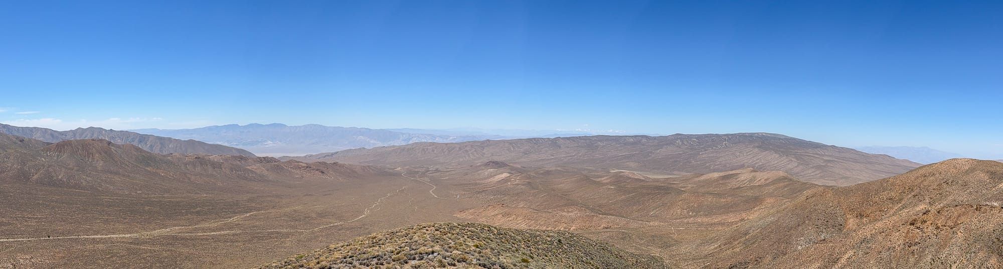
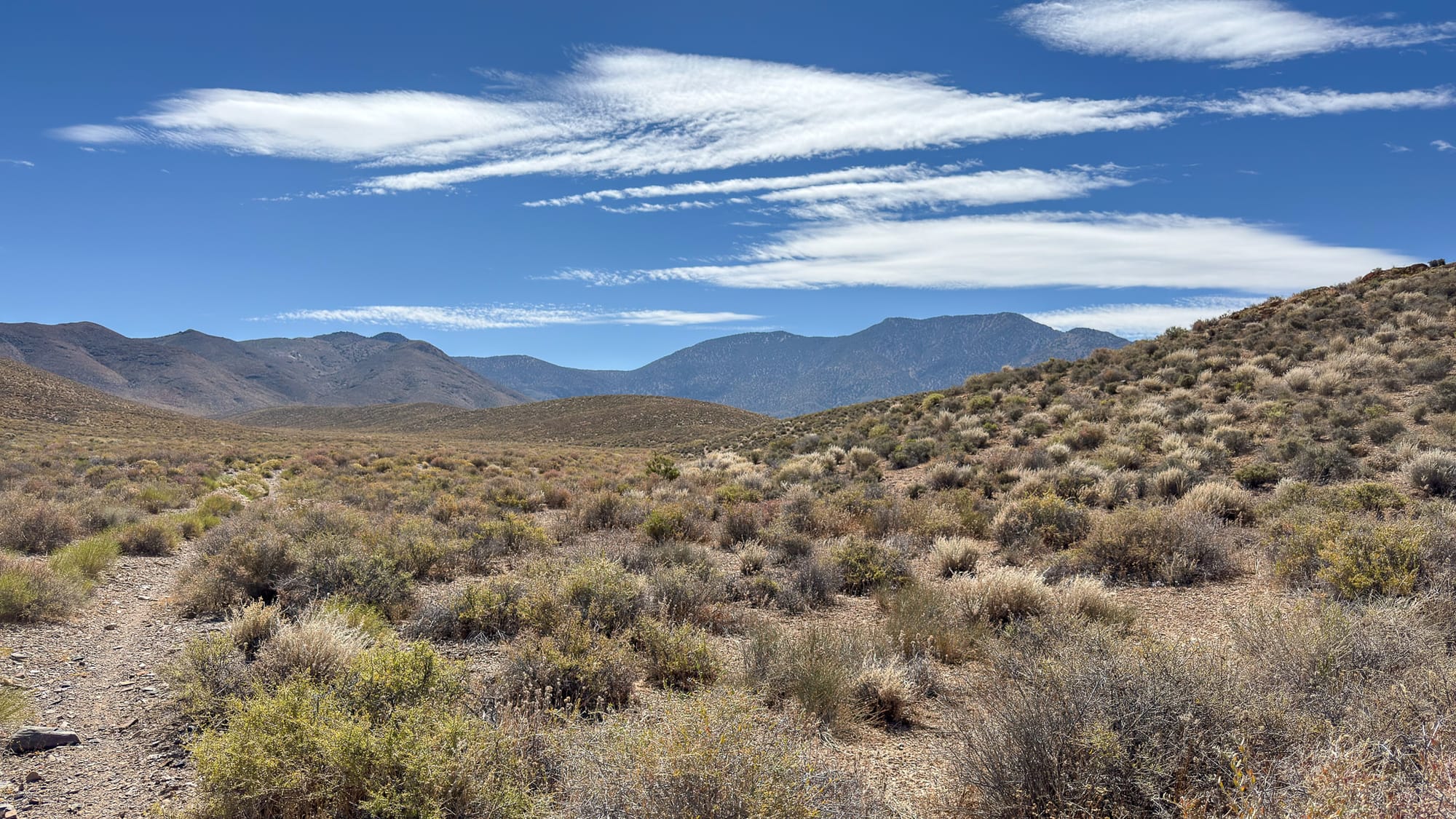
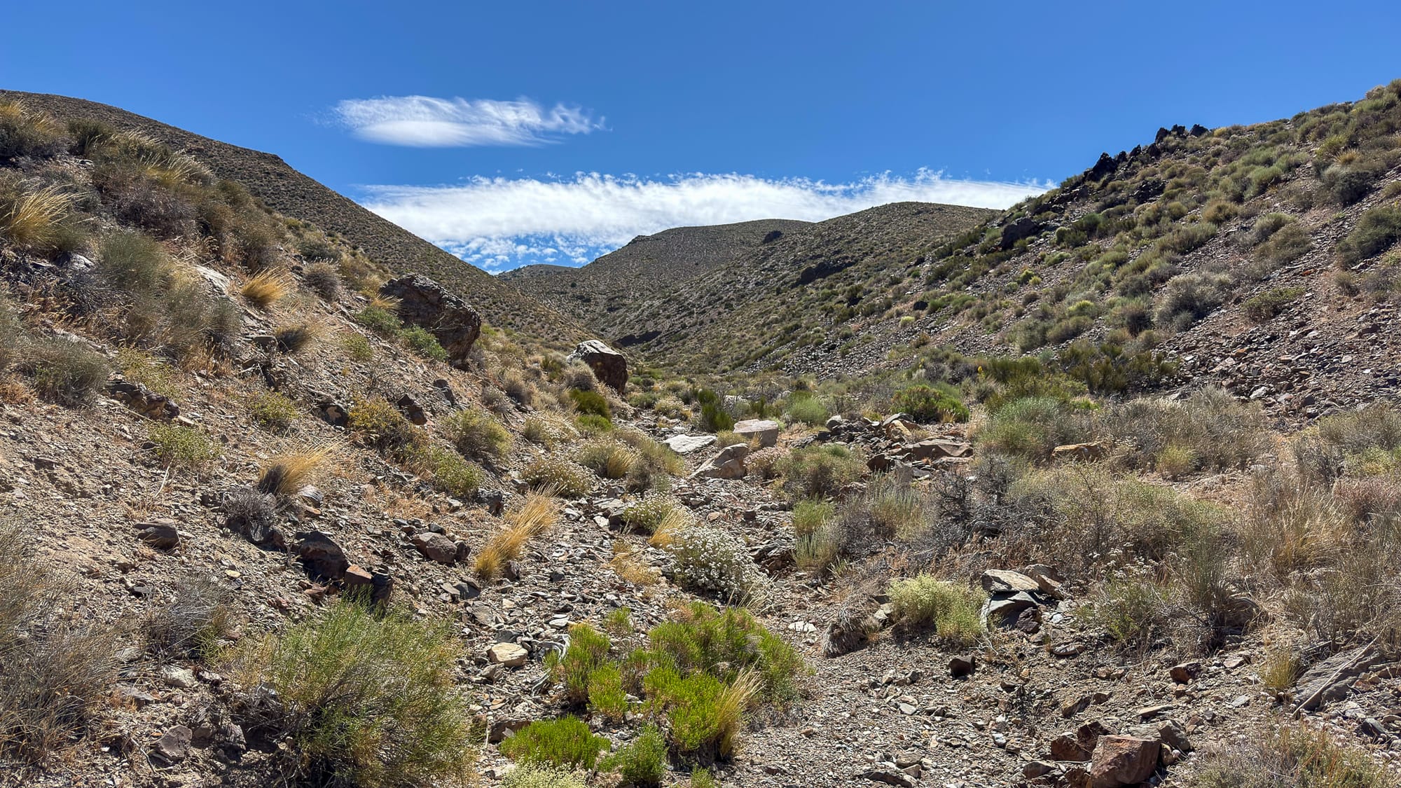
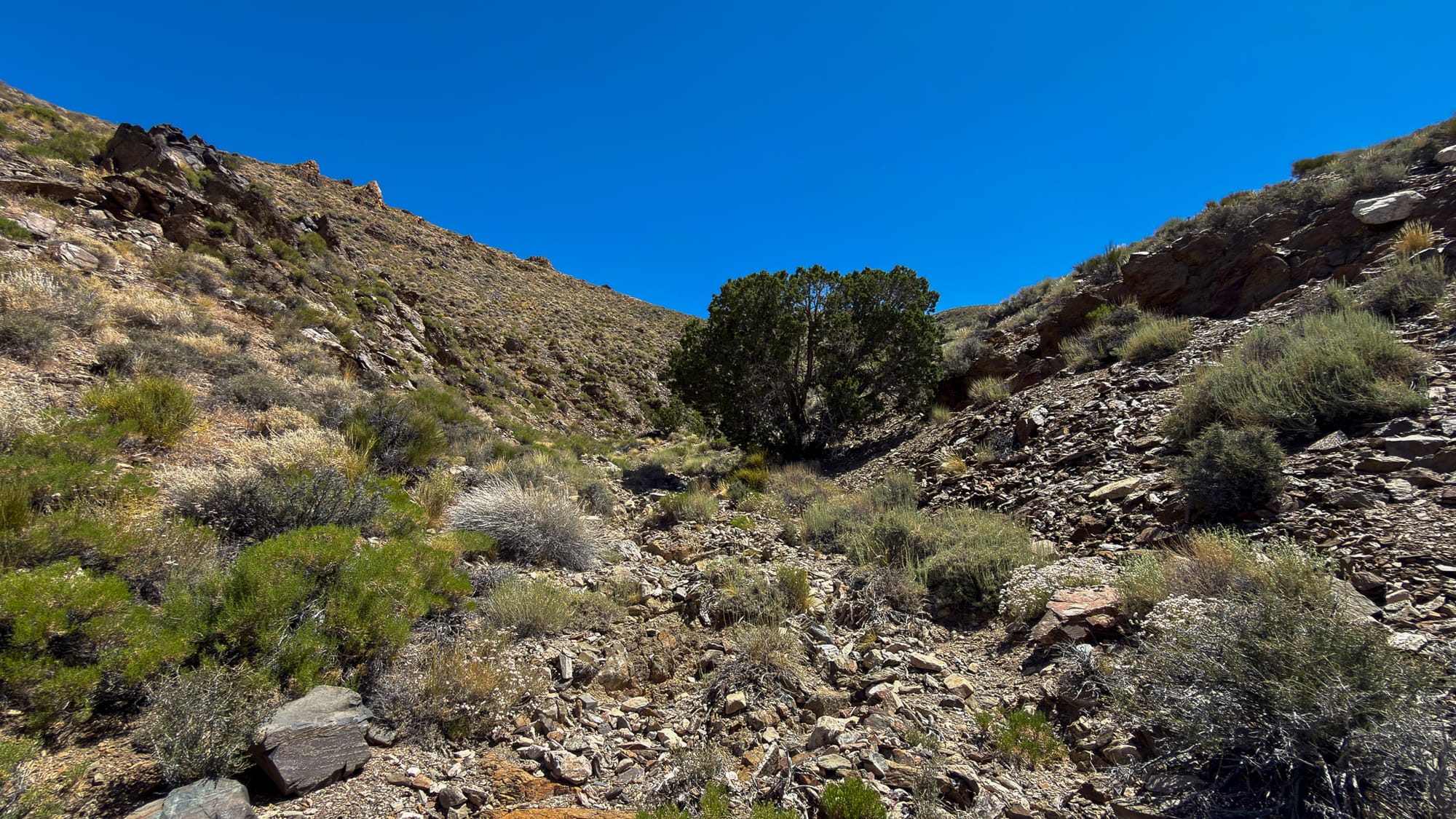
I recently visited the property to see what remains.
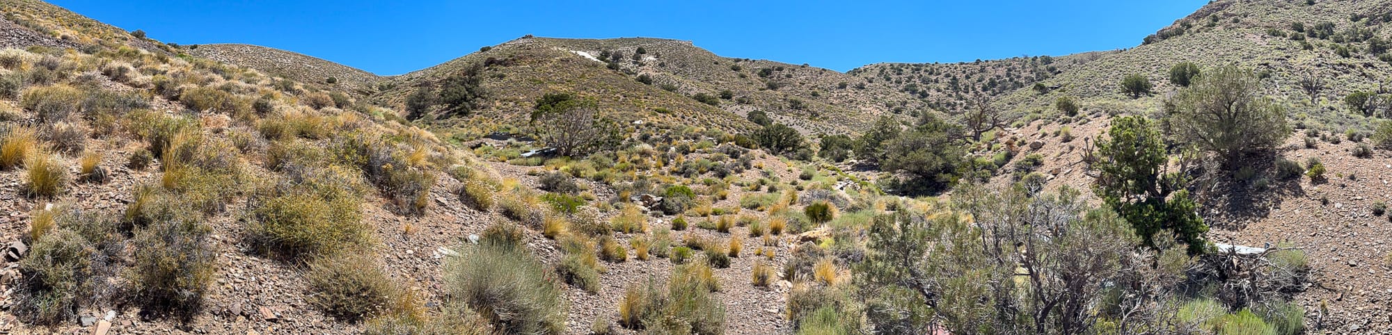
The site consists of several distinct areas rather than a single concentrated operation. The remains of the camp and ore bin are still identifiable, although time and weather have taken their toll on the structures.
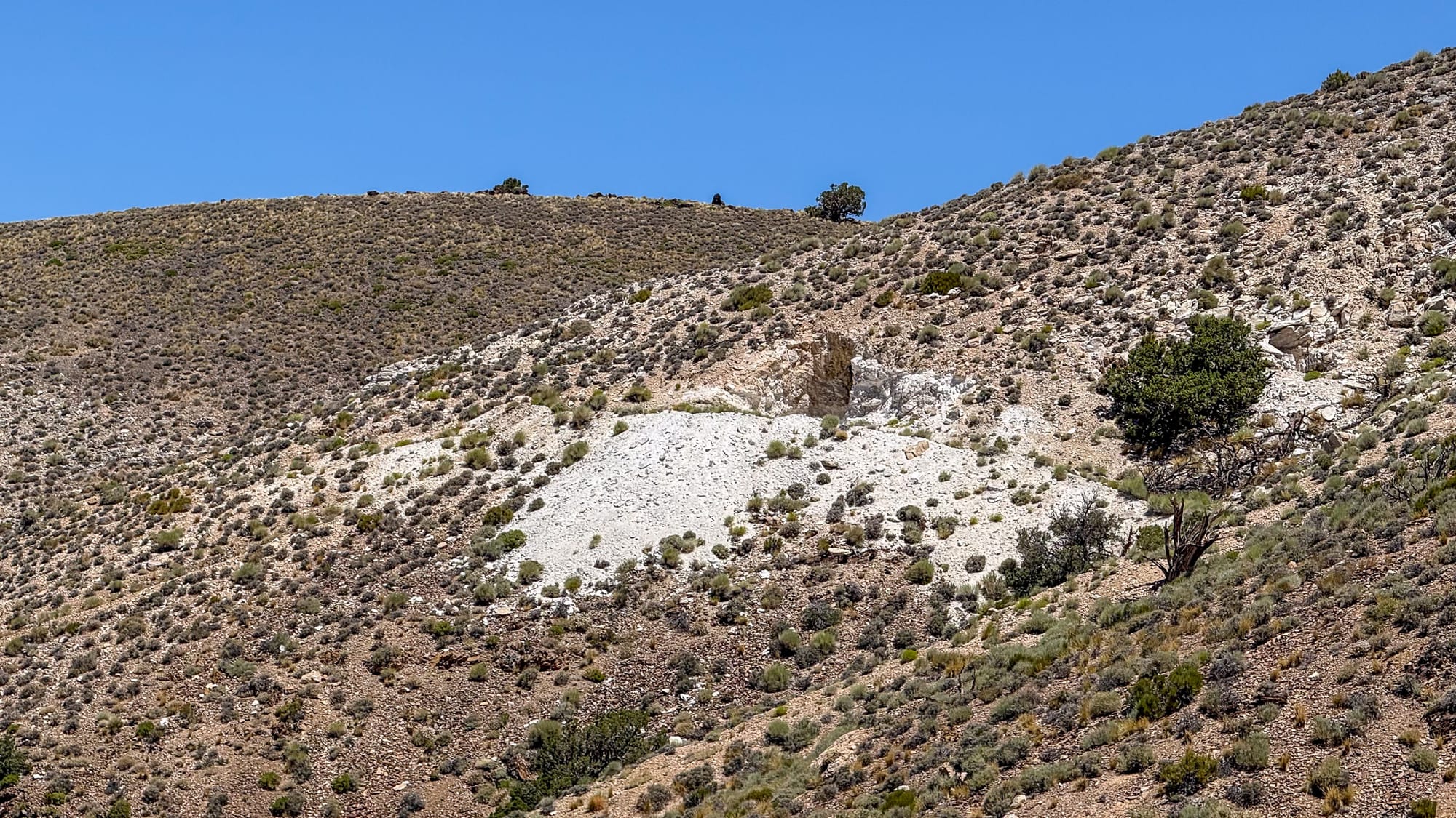
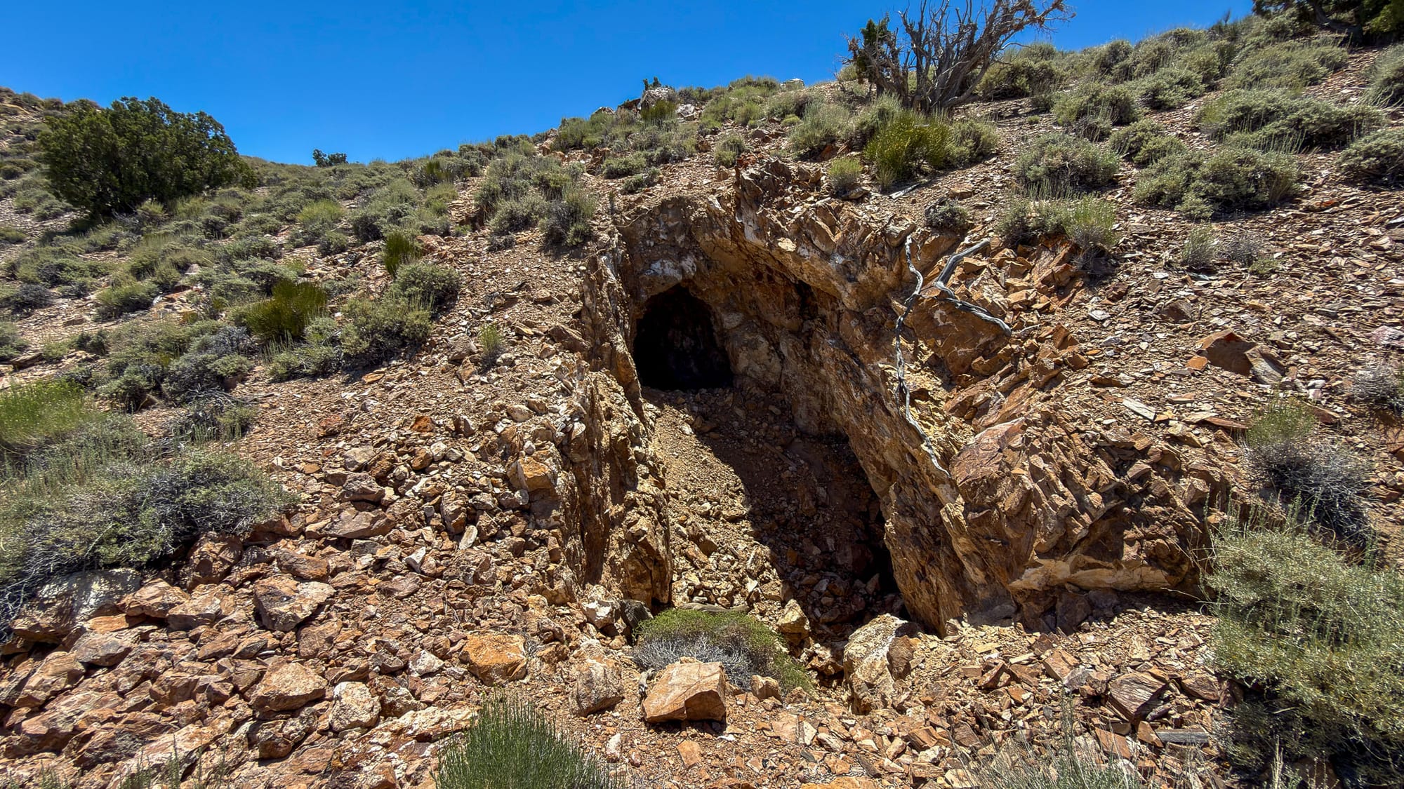
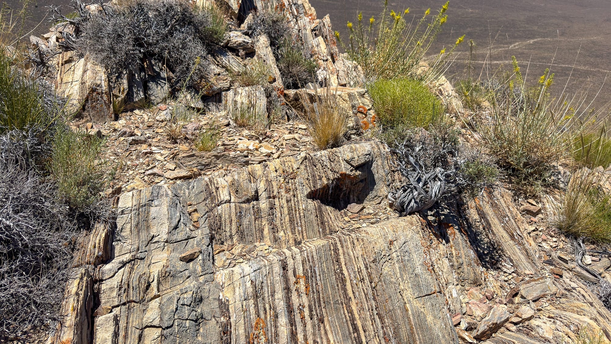
The eastern ridge contains workings that appear consistent with a talc prospect. The geology, style of excavation, and overall character of the workings generally align with the interpretation found in the National Park Service report.
If the site consisted only of these workings, I would have little reason to question the historical assessment.
The western side of the property, however, tells a different story.
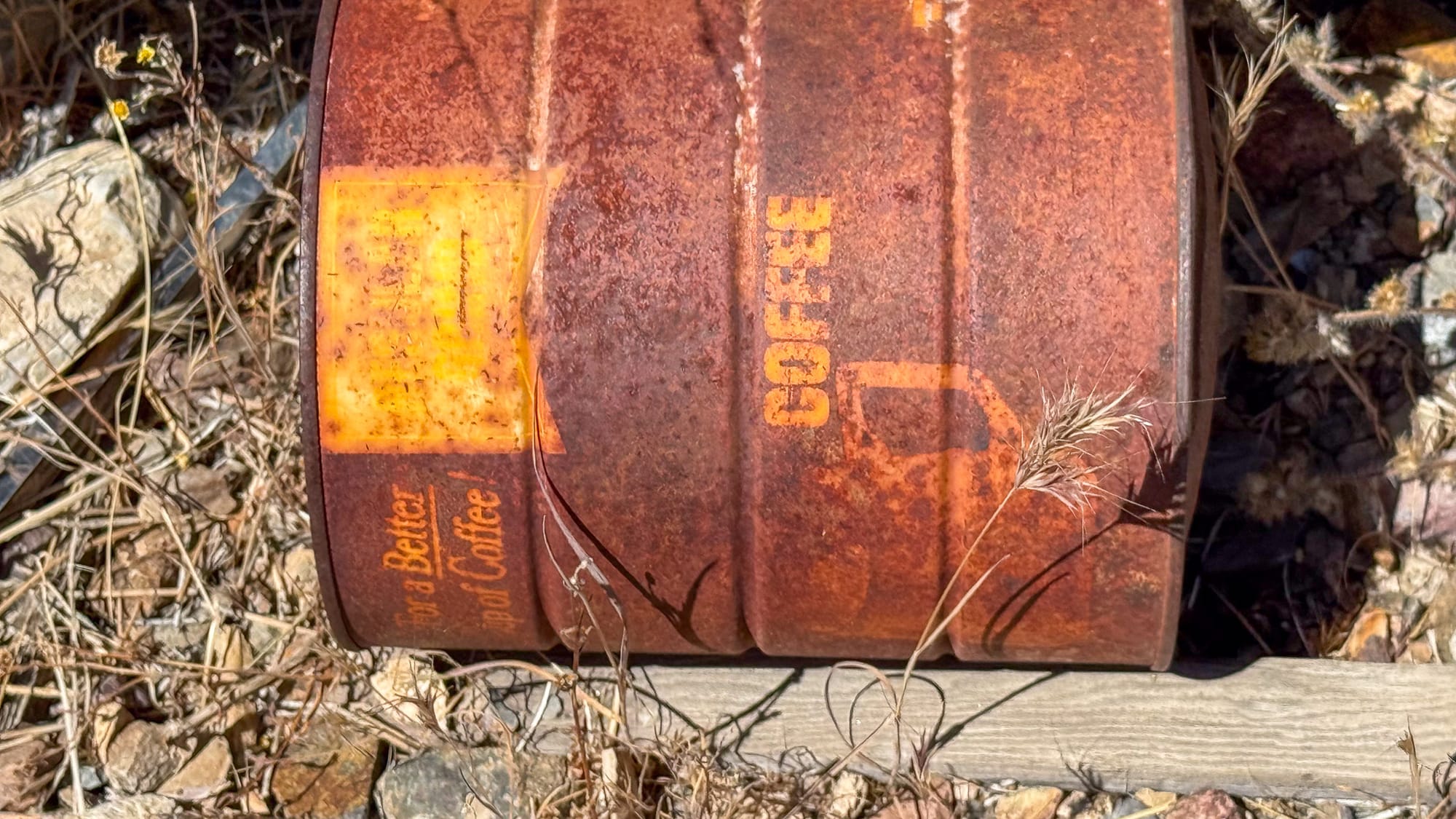
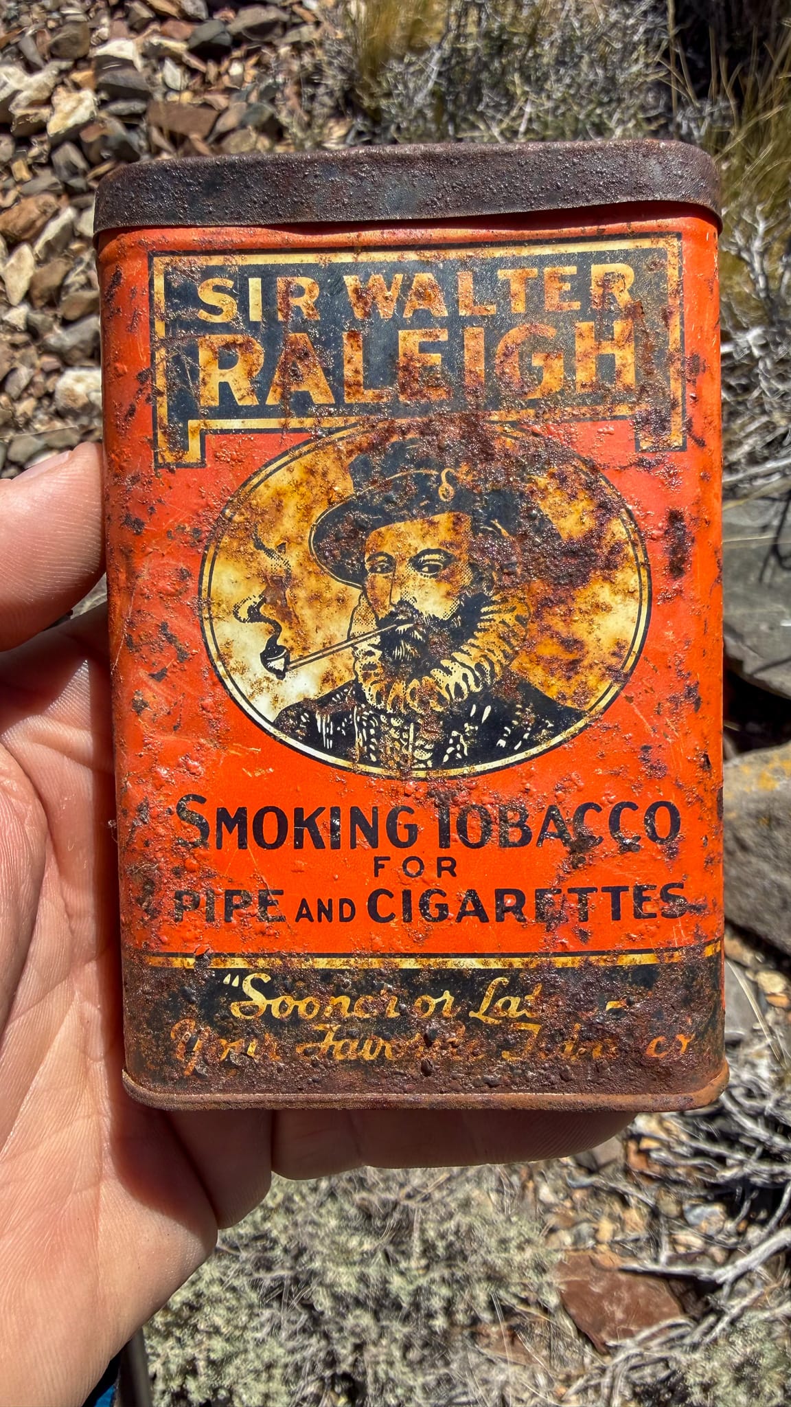
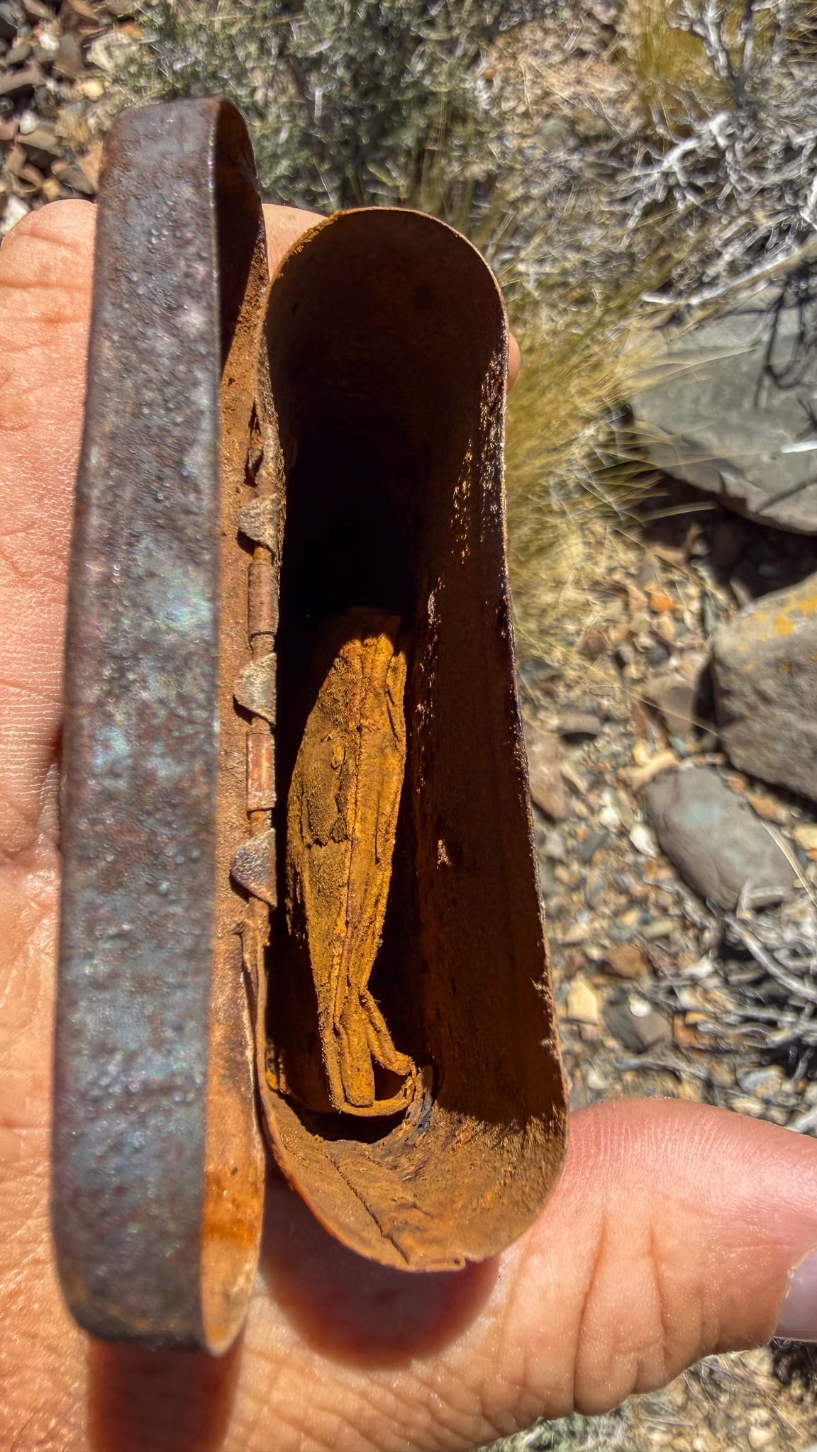
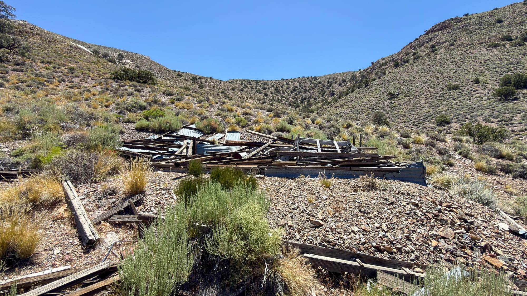
Coffee! A cigarette container holding the 1940s claim paperwork (it was too delicate to unfold). The collapsed cabin which was standing in 1980 but down now in 2026.
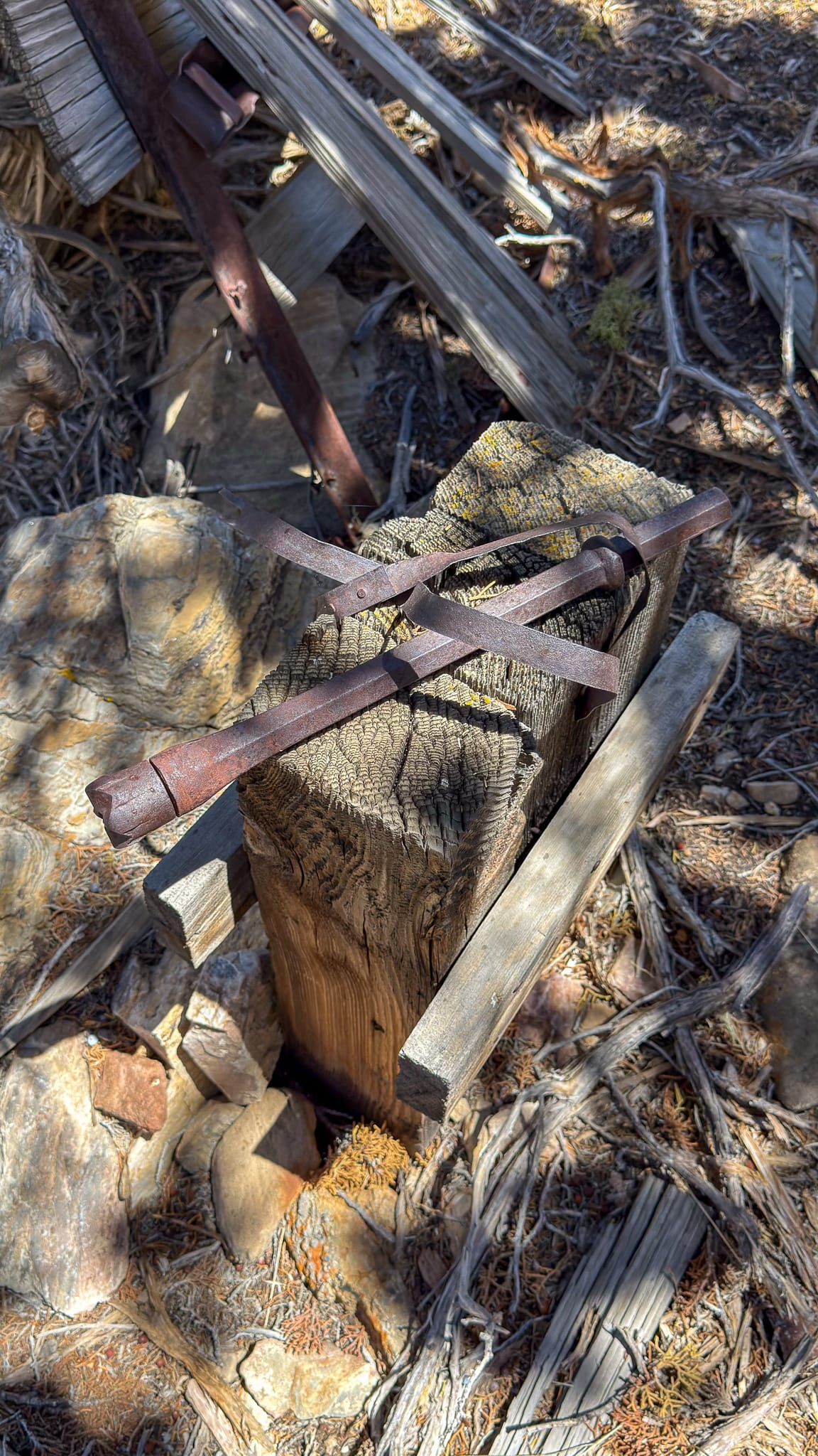
A smithy with drill steels still on the bench.
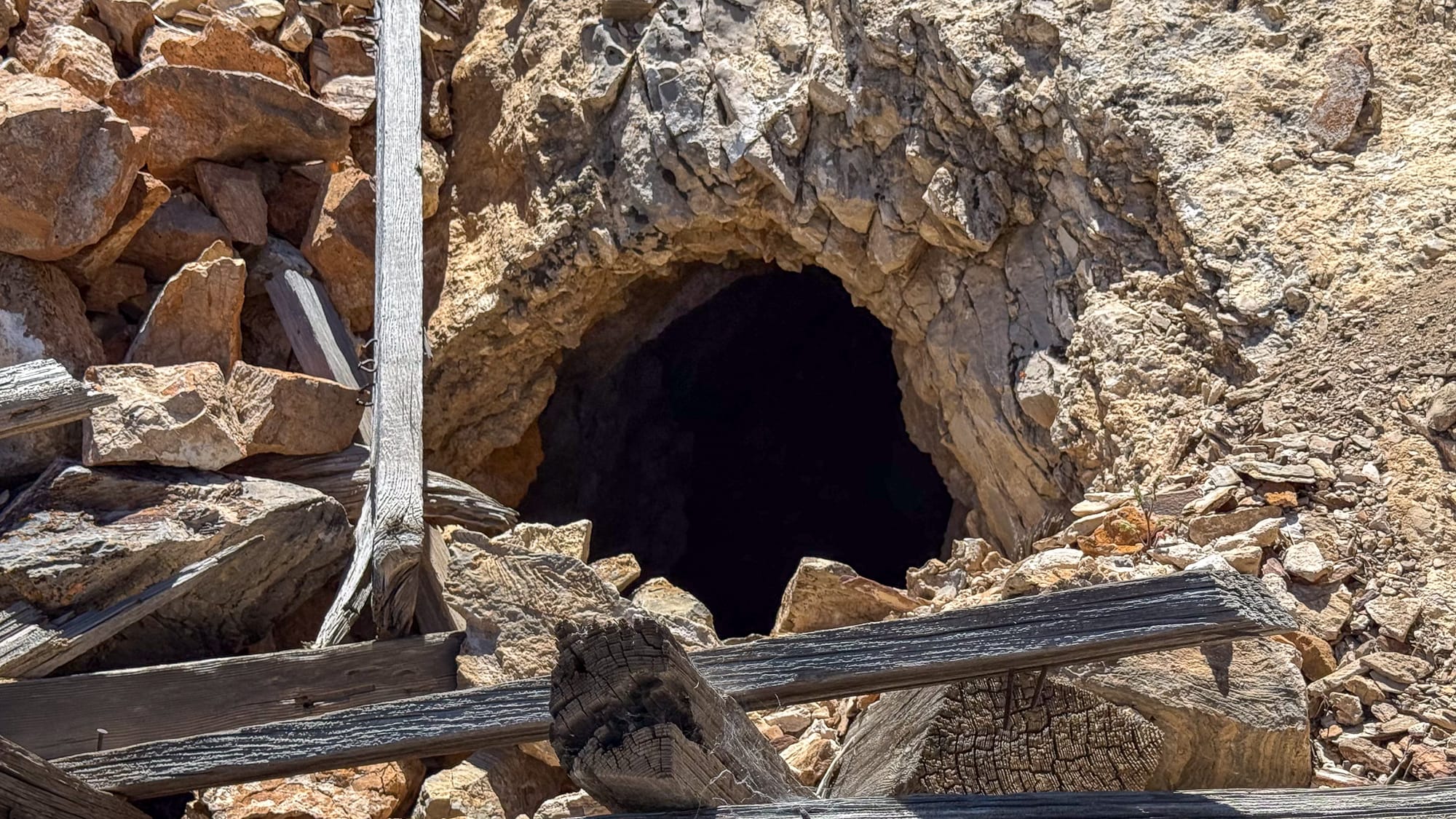
The Ore Bin Question
One of the more substantial features at the site is the ore bin noted in the 1975 survey. The workings associated with this structure do not resemble a typical talc operation to my eye.
The dumps contain material that appears metalliferous rather than industrial mineral in nature. The vein structures, waste rock, and style of development suggest prospecting for metals rather than talc. The workings also appear more focused and targeted than what I would expect from a small talc operation.
Silver or gold seem like the most likely commodities based on nearby mines, although that is only an educated guess based on field observations. Given the mining history of the surrounding district, lead-bearing mineralization would not be surprising either.
Without laboratory assays, there is no way to say with confidence what was being pursued. Since collecting samples from mining sites within Death Valley National Park is prohibited, I did not remove any material for testing.
One Site or Two?
The most likely explanation may be that what is now collectively referred to as the Bald Peak Mine was actually the result of multiple mining efforts.
The eastern ridge appears consistent with talc operation and may be the basis for the property's modern identification as a talc occurrence.
The western workings and ore bin, however, appear to represent a separate metalliferous mine. Whether this work predates the talc operation, followed it, or occurred simultaneously is impossible to determine from the limited evidence currently available in the historical record and on site evidence.
This is one of those Death Valley mining sites where the published history is remarkably thin compared to what is visible on the ground. Until additional records surface, the Bald Peak Mine remains something of a mystery: part talc operation, part metal operation, and a reminder that historical summaries are only as good as the information available to the people writing them.
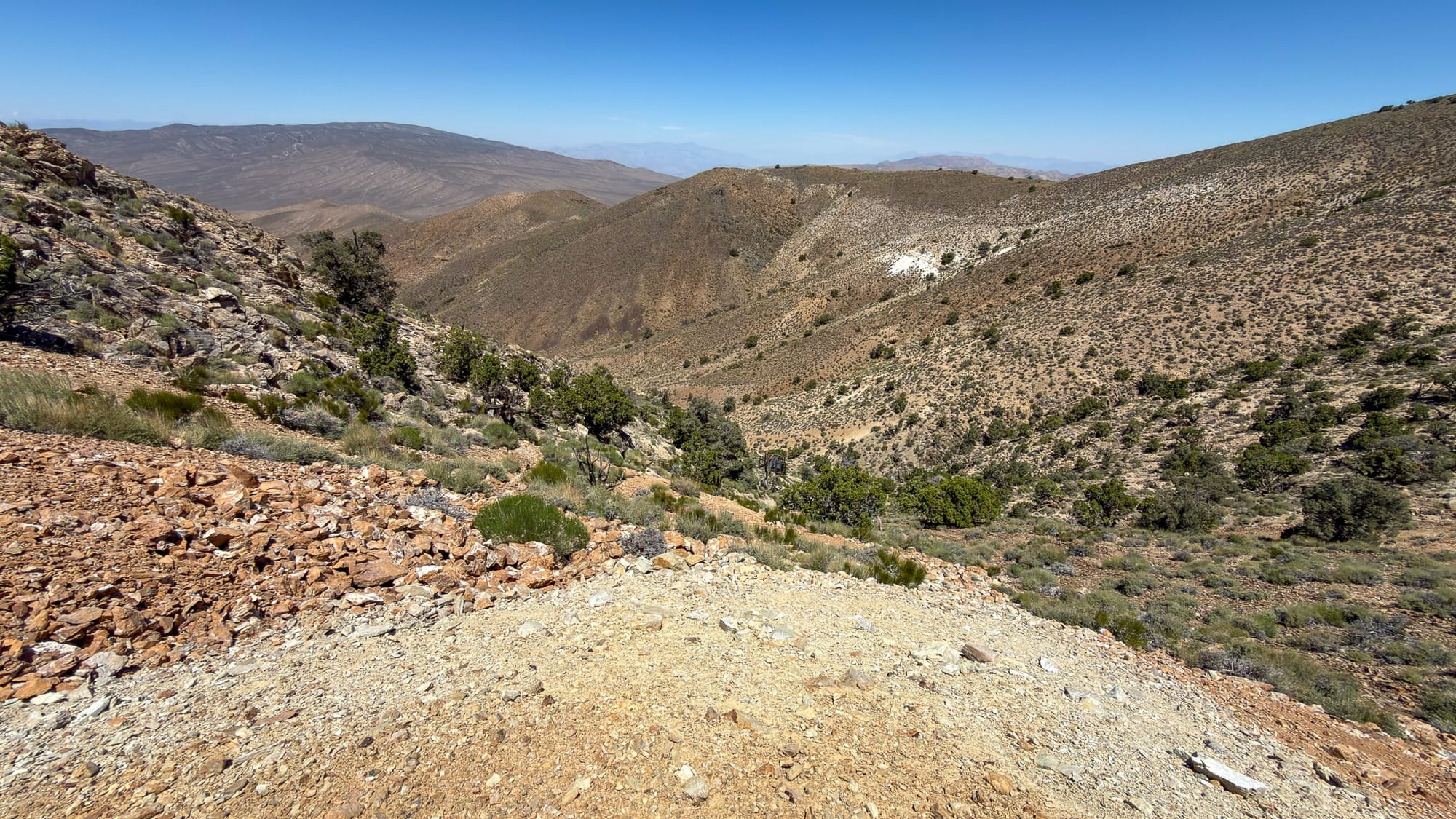
Comparison of the rock qualities of the talc mine on eastern slope of the cwm and my assessment of the metalliferous workings on the western side.
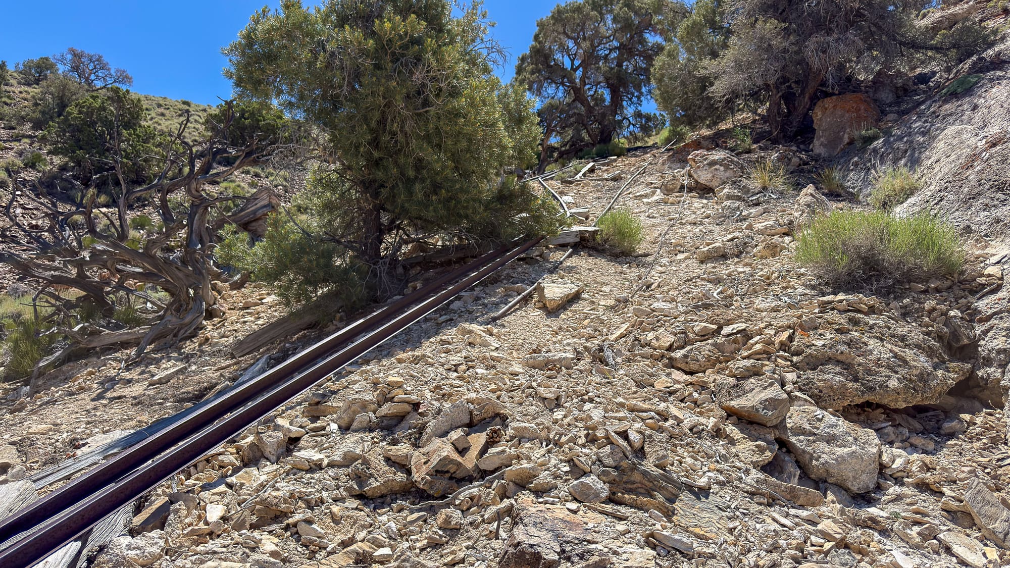
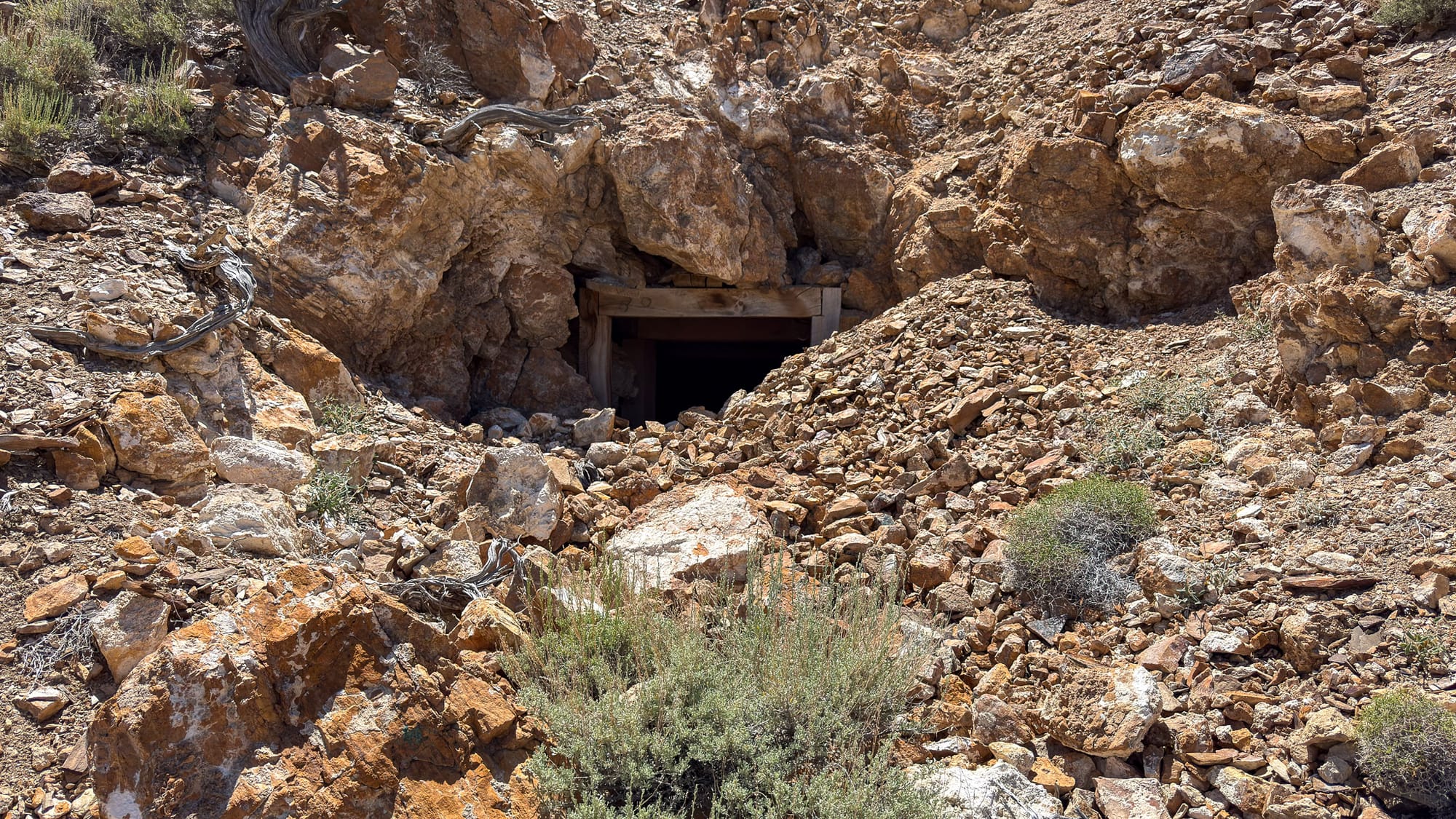
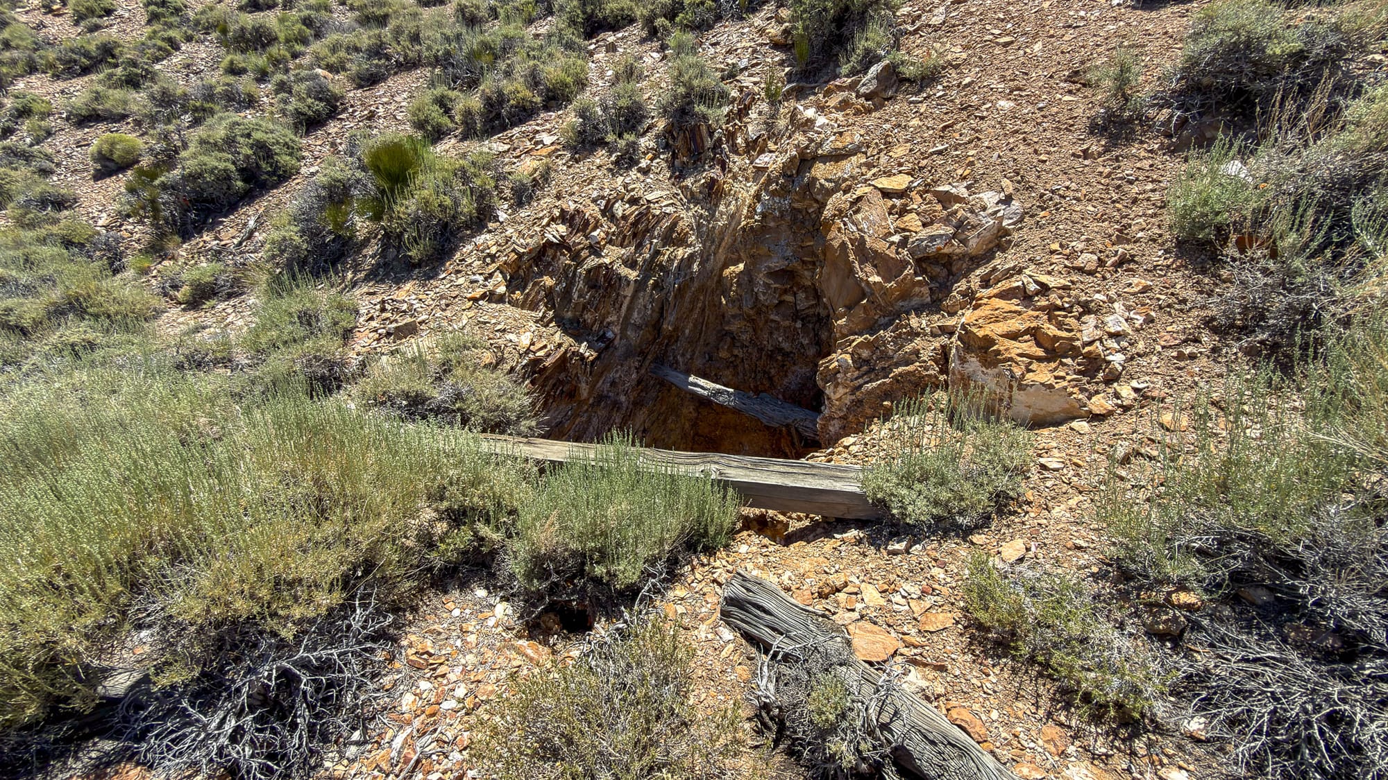
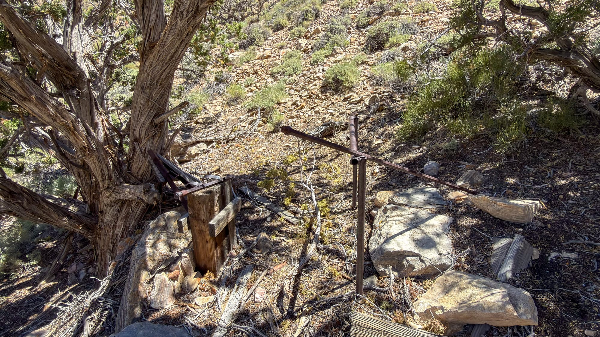
The upper workings of the assumed metal operation. There was an inclined track from the upper workings down to the ore bin. Several adits, a shaft, and numerous prospects.
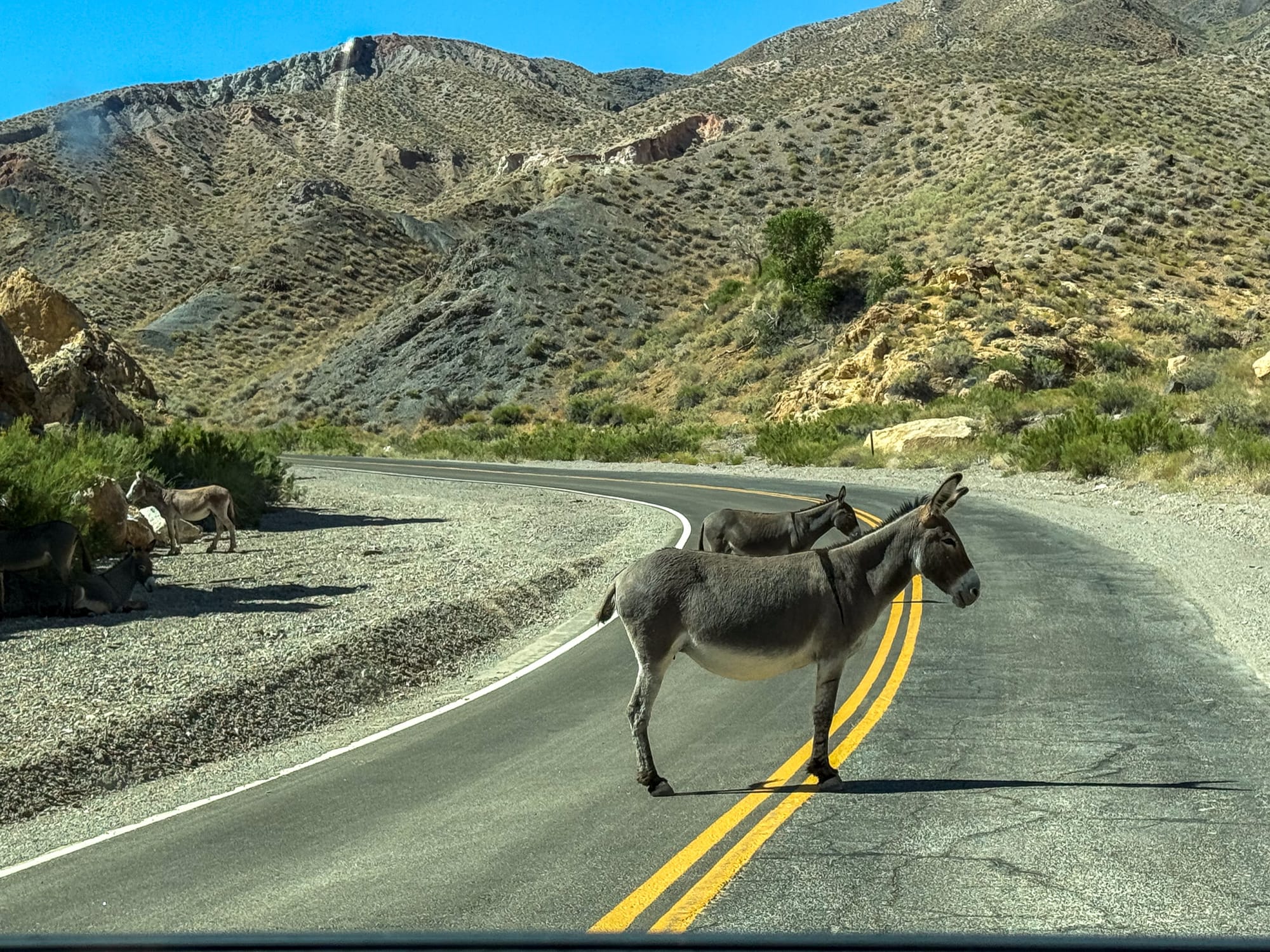
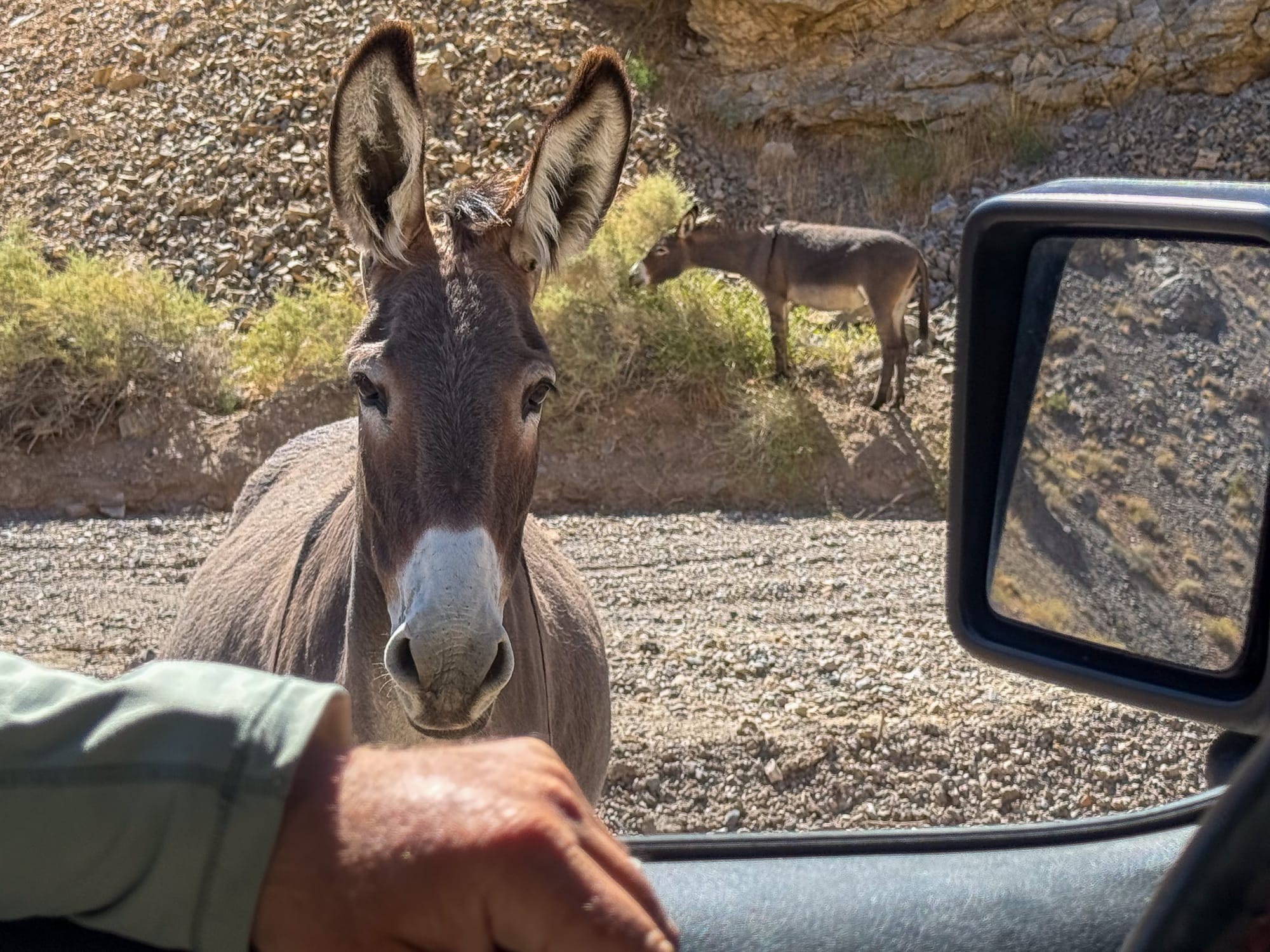
A donkey ambush in Emigrant Canyon!
References
National Park Service. Historic Resource Study, A History of Mining in Death Valley National Monument: Historic Resource Inventory and Evaluation of Mining Remains.
Mindat.org. "Bald Peak Mine, Wildrose Mining District, Inyo County, California."
Field observations by the author, 2026.