Further afield: The South Klondyke District

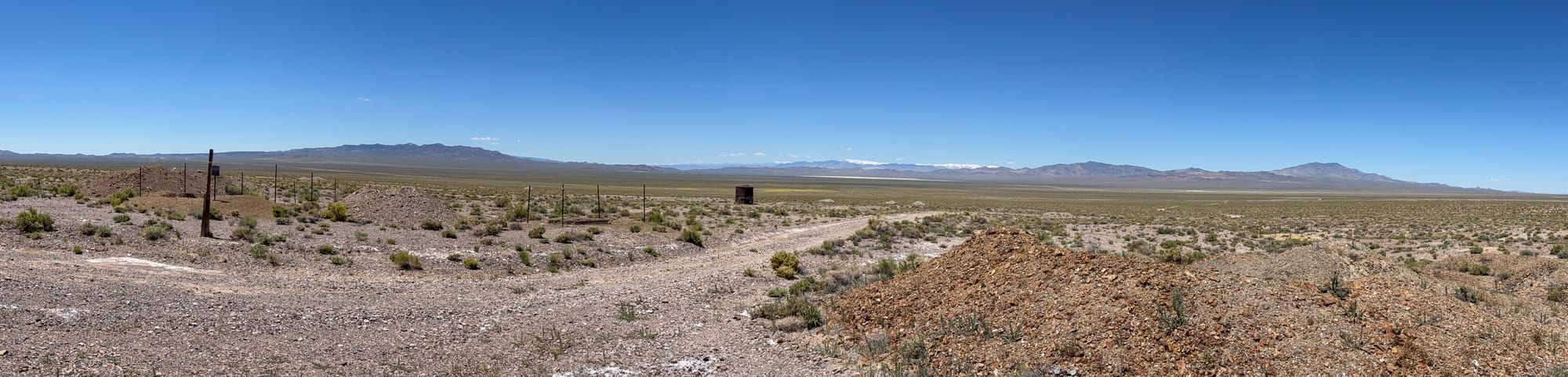
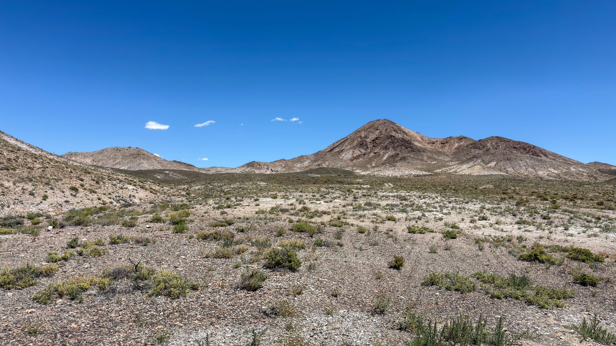
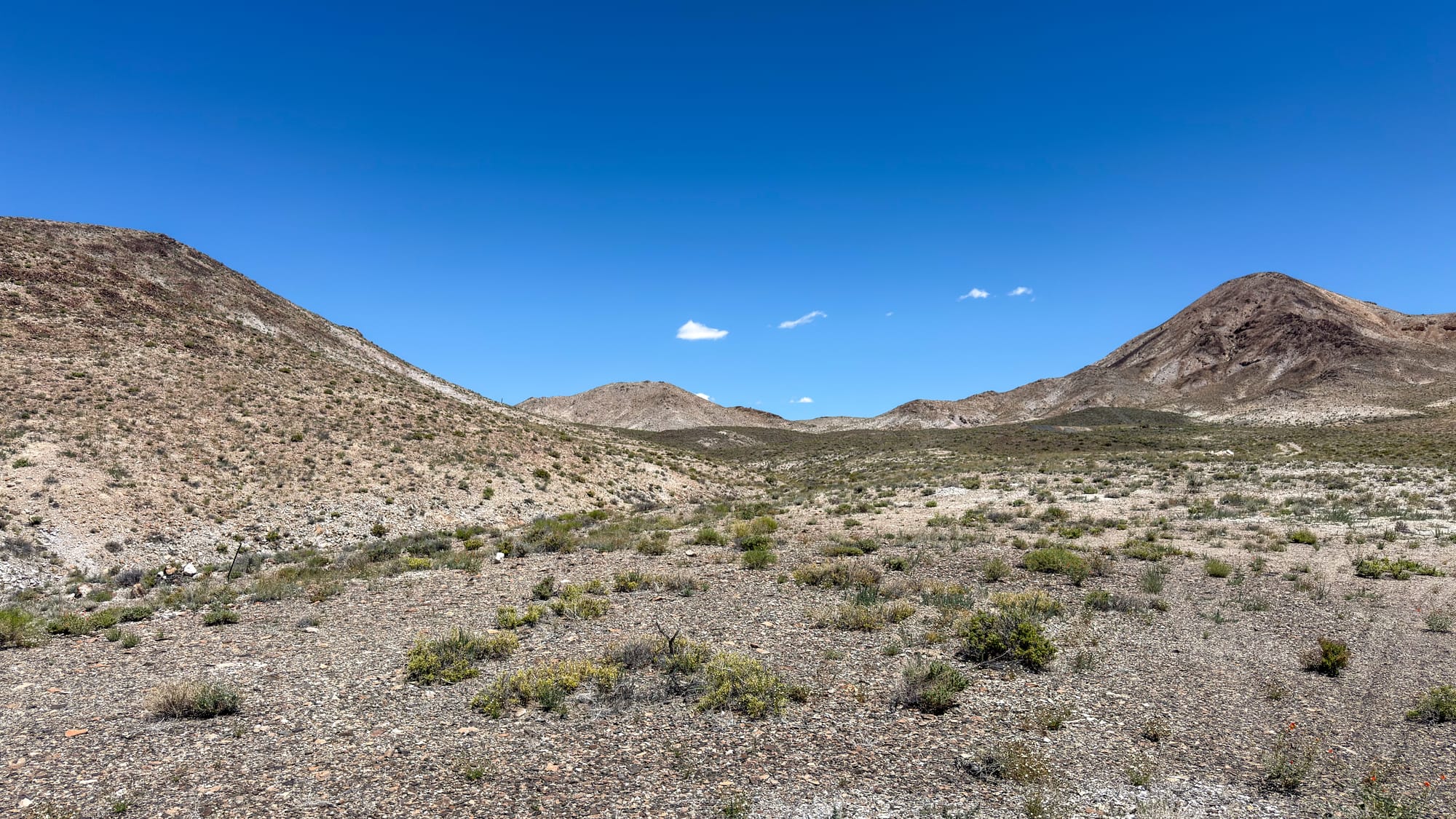
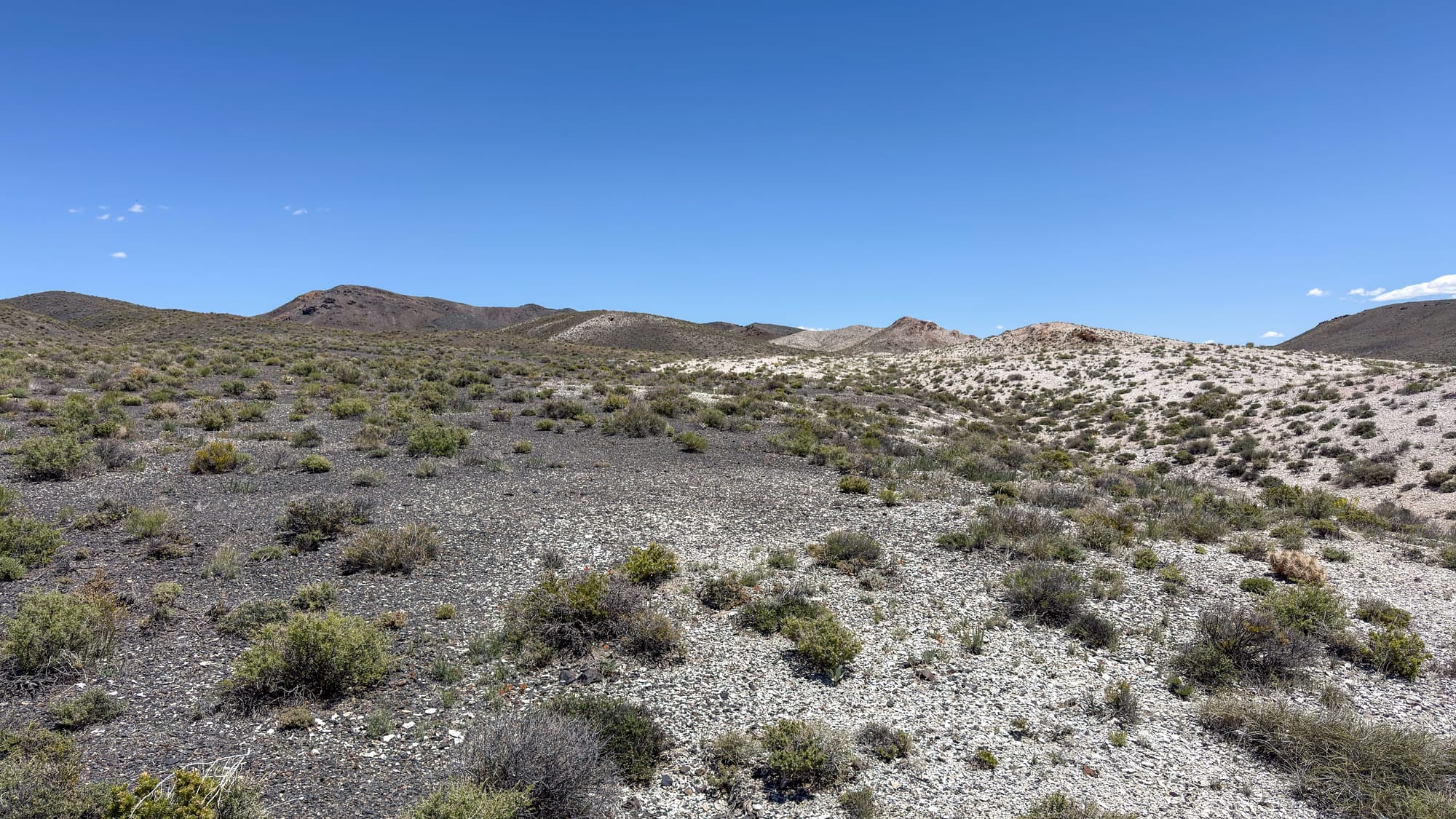
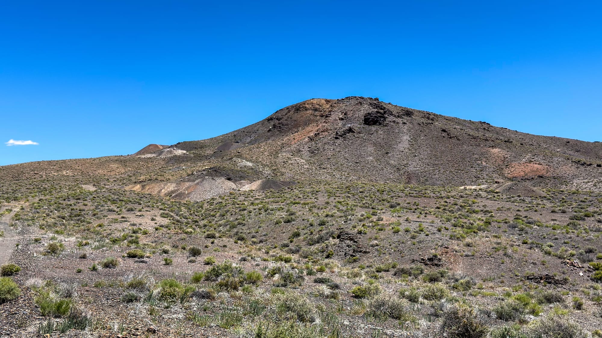
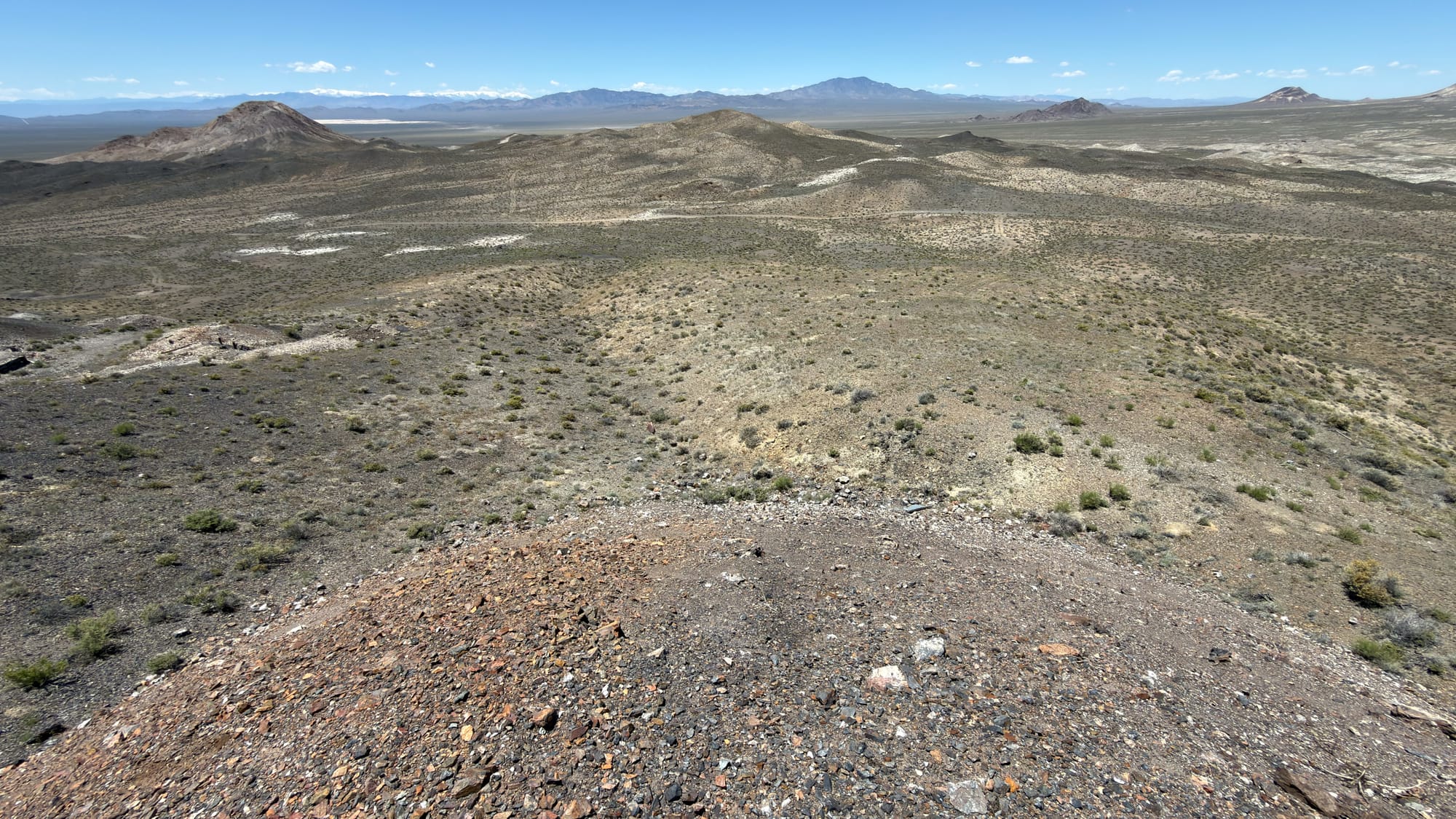
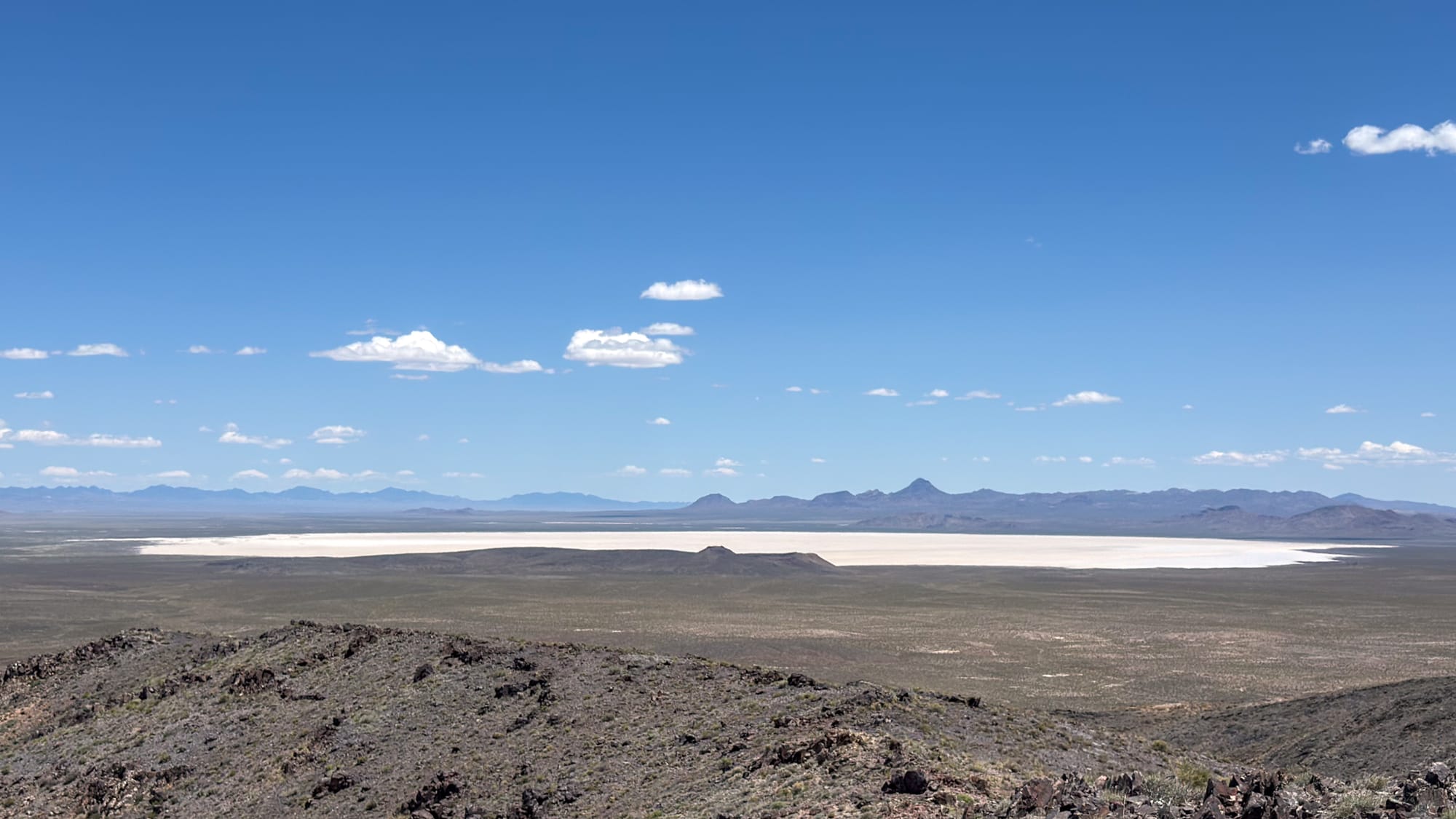
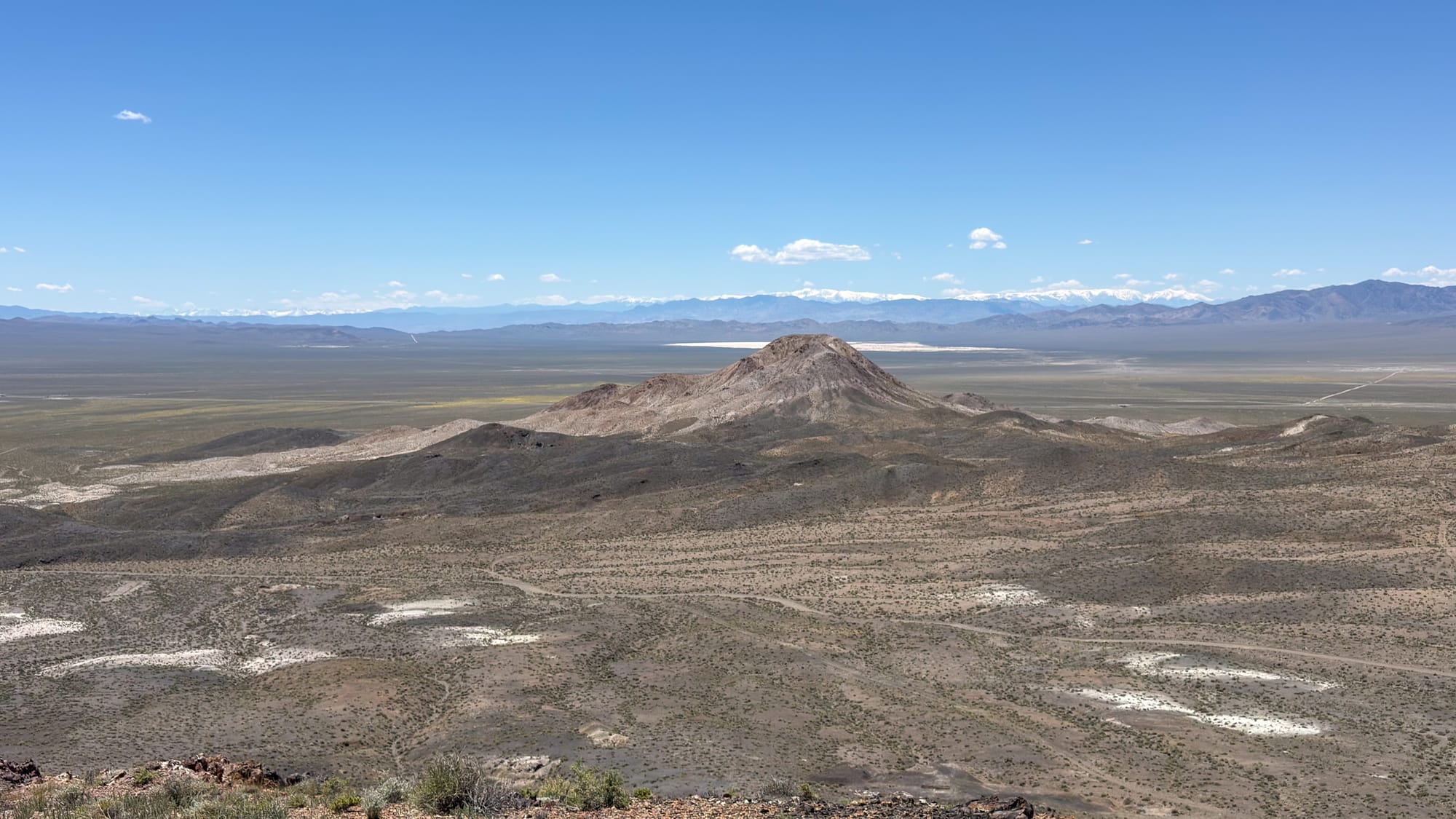
The district sits fourteen miles south of Tonopah in the Klondyke Hills, tucked into east Esmeralda County just shy of the Nye County line. Elevation around 5,500 feet. The terrain is what you expect from the central Nevada high desert: sagebrush flats giving way to pale volcanic hills, the kind of country that looks empty until you know what to look for.
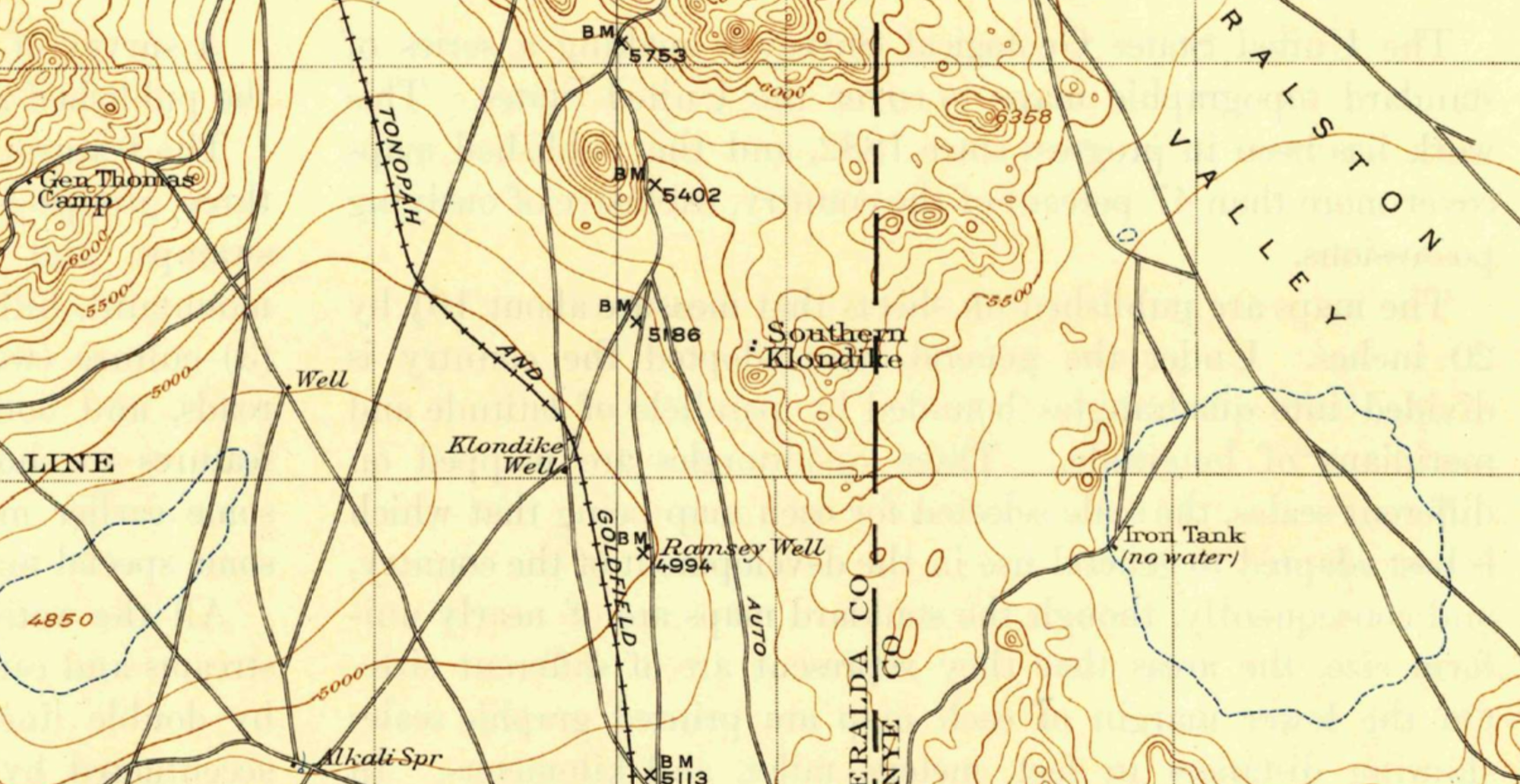
It is not easy to research. The name alone is a problem. "Klondyke" and "Klondike" appear interchangeably in period documents, and the settlement itself had two distinct nodes that different sources treated as the same place or different places depending on the year. The mining camp proper, sometimes called "Southern Klondike," sat up in the hills at the workings. Four miles away, down at the rail line, was Klondike Station, also known as Klondike Well. Period maps from 1909 show both "Klondyke" and "Southern Klondyke" south of Tonopah, and what appears to be a third "Klondike" to the north of Tonopah that was probably a cartographic error. Even the mapmakers of the era found it difficult to sort out.
Before the Formal Discovery
The standard history puts the lode discovery in 1899, credited to two prospectors named Court and Bell. Their original claims in the southern part of the main mining area turned out to be the most productive ground in the district. The Bell and Court Mine still appears in the USGS MRDS database.
But there was activity here before that. Sources from the 1930s note that Chinese placer miners were reportedly working the district as early as the 1870s, dry-washing the gravels in a period when central Nevada was not the organized mining territory it would become during the Tonopah boom. The placer work was never very profitable. One nugget reportedly valued at $1,200 came out of the ground. Otherwise the results were modest. Placer operations had wound down long before the lode deposits drew any serious attention.
The Assayer Who Threw Away a Fortune
In 1900, Jim Butler was traveling to the Klondike district when he picked up rock samples near a spring that would become Tonopah. He stopped at the Klondike assay office and handed the samples to the assayer there, a man named Frank Hicks. Hicks looked them over and threw them away. Not worth testing.
Those samples eventually got assayed elsewhere. They came back running as high as $600 a ton in silver. Butler staked his claims, his wife helped him file on eight of them at the county seat in Belmont, and six of those claims became some of Nevada's largest producers. The Tonopah district would go on to produce more than five million tons of ore valued at over $150 million in silver and gold, a figure that translates to well over a billion dollars at modern prices.
Klondike's assayer threw all of that away.
It is one of the great missed calls in Nevada mining history. There is no marker for it. The moment passed without ceremony, as those moments usually do.
Diamondfield Jack and the Camp's Founding
The founding of the camp itself is attributed, at least in part, to one of the more theatrical figures of the era.
Jackson Lee Davis, known universally as Diamondfield Jack, had accumulated a considerable reputation by the time he arrived in central Nevada. He had worked as a gunman for cattle interests in Idaho during the range wars of the 1890s, been convicted of murdering two sheepherders in 1896, and sentenced to hang even after two other men confessed to the same killings. He spent years in the Idaho State Penitentiary before finally receiving a pardon in 1902.
He moved to Nevada. He became a mine operator in the Tonopah and Goldfield districts. He helped establish several mining camps in the region, Klondike among them. He died in Las Vegas in 1949 when a taxicab hit him as he was crossing the street.
Mining Activity
The district had a post office from 1901 to 1903, a short window that tells you something about the arc of early settlement.
Active mining fell into three main periods: before 1905, then 1908 to 1910, and again from 1912 to 1925. After 1925, sporadic attempts continued but production was minimal. The Klondike Divide Mining Company held the property around 1911 and through the early 1920s, with most of the actual work done by leasers rather than the company itself. The Marionette Mining and Milling Company patented claims in the eastern part of the district. The Knox Divide Mining Company operated in the northern section in the early 1920s. A handful of other small operators cycled through with names that mixed "Divide" and "Klondike" in various combinations.
The ore was gold and silver. The district was never a major producer. Its place in the regional story is as background, context, a minor node in the network of camps that stretched between Tonopah and Goldfield during the boom years.
There is a case to be made, though, that Klondike's role was not purely incidental. The district may have supplied grubstakes for prospectors who went on to work the Divide district, which sits five miles north and saw its own productive period beginning in 1917. If that is accurate, then some portion of what came out of Divide traces back to money first turned at Klondike. The historical record does not make this definitive, but it is plausible.
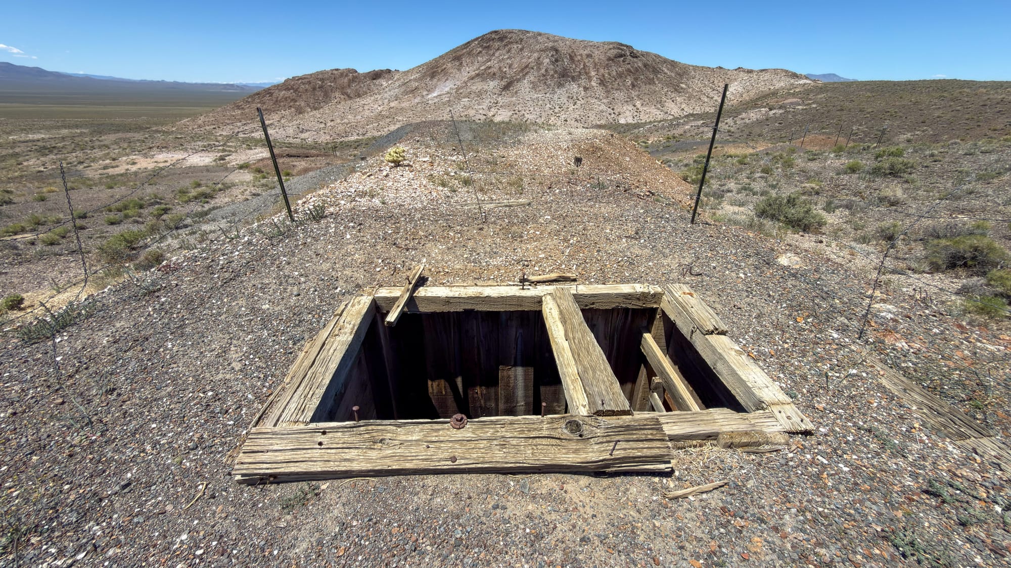
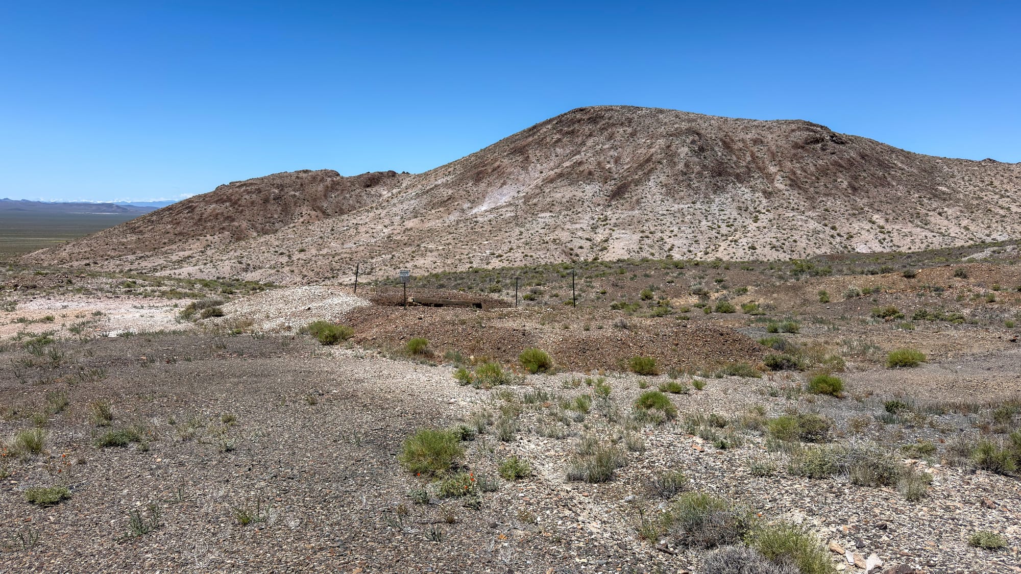
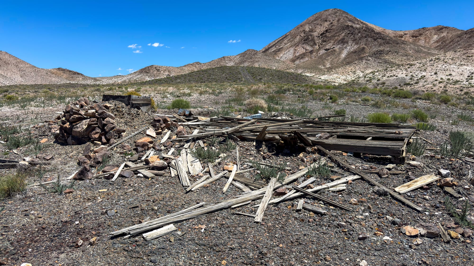
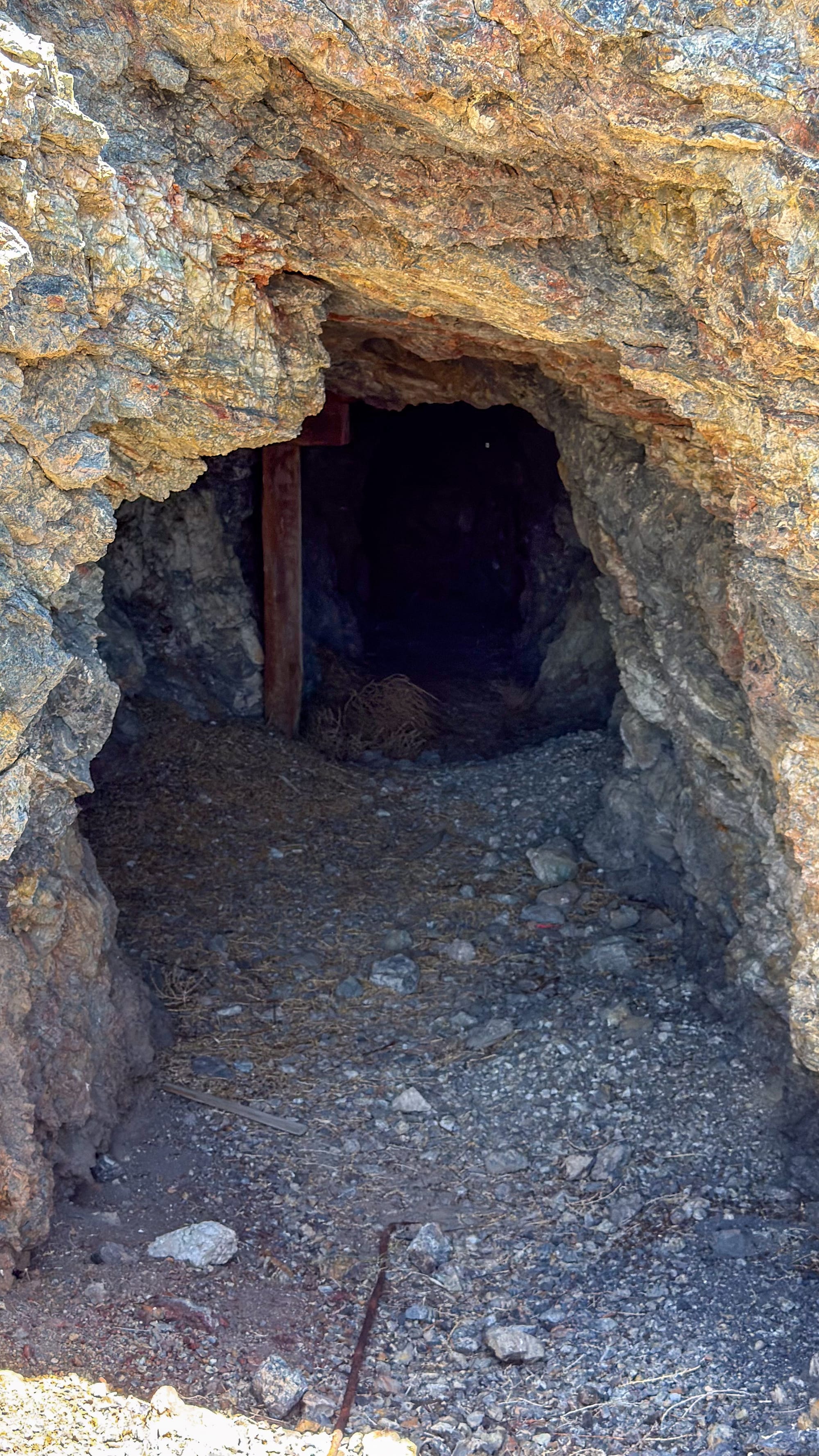
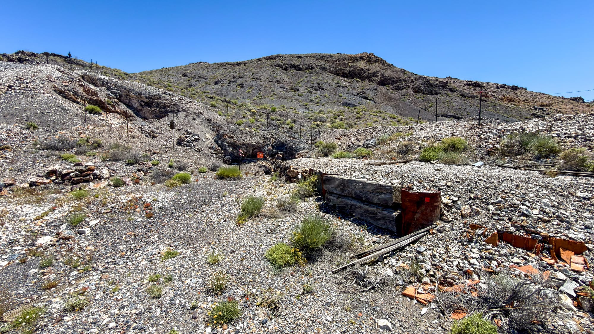
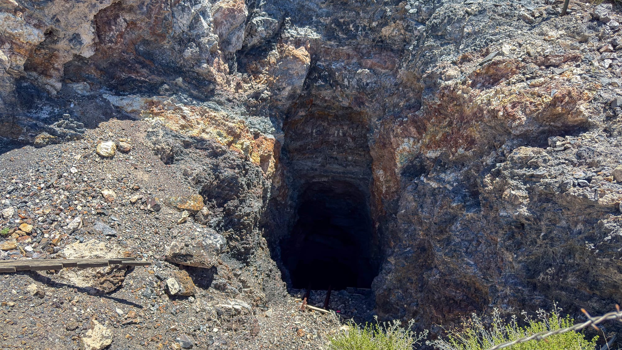
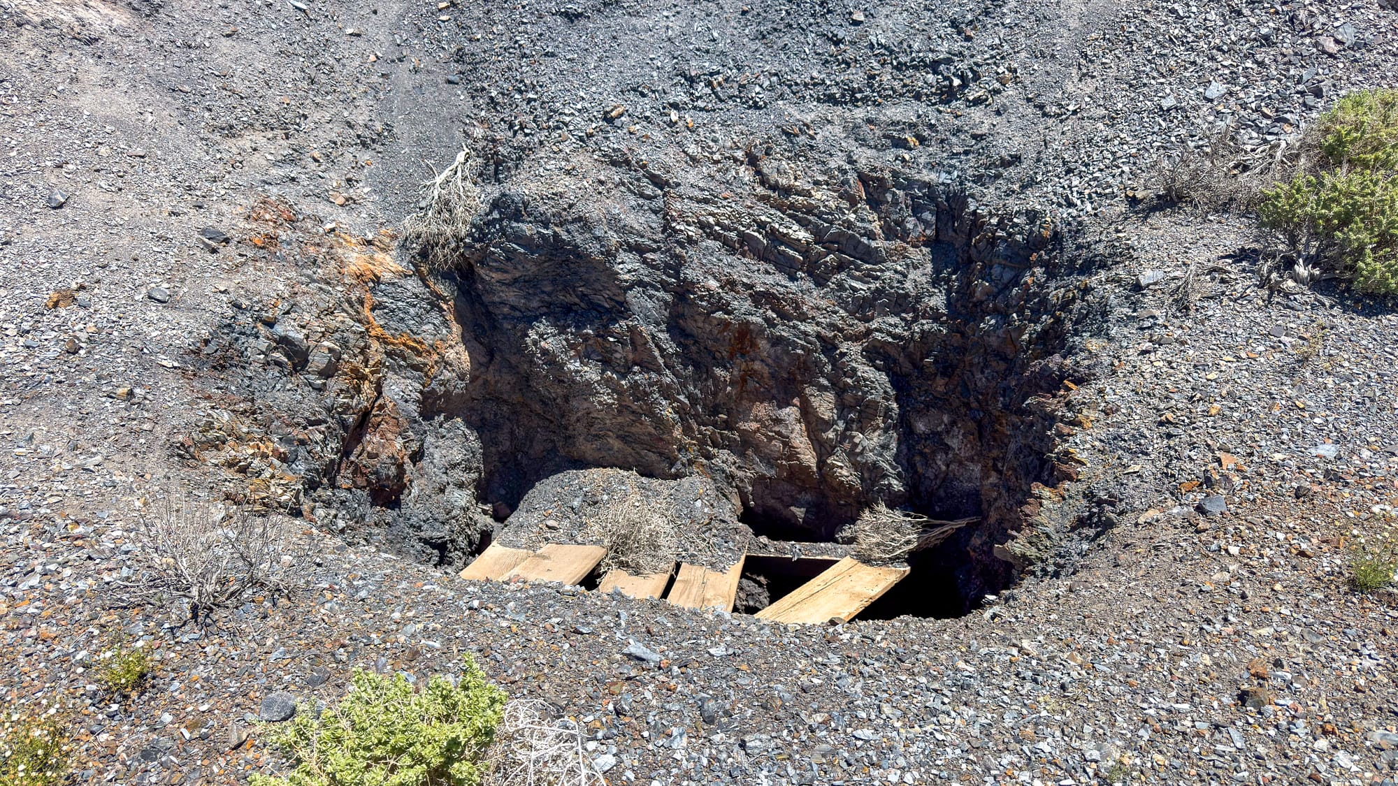
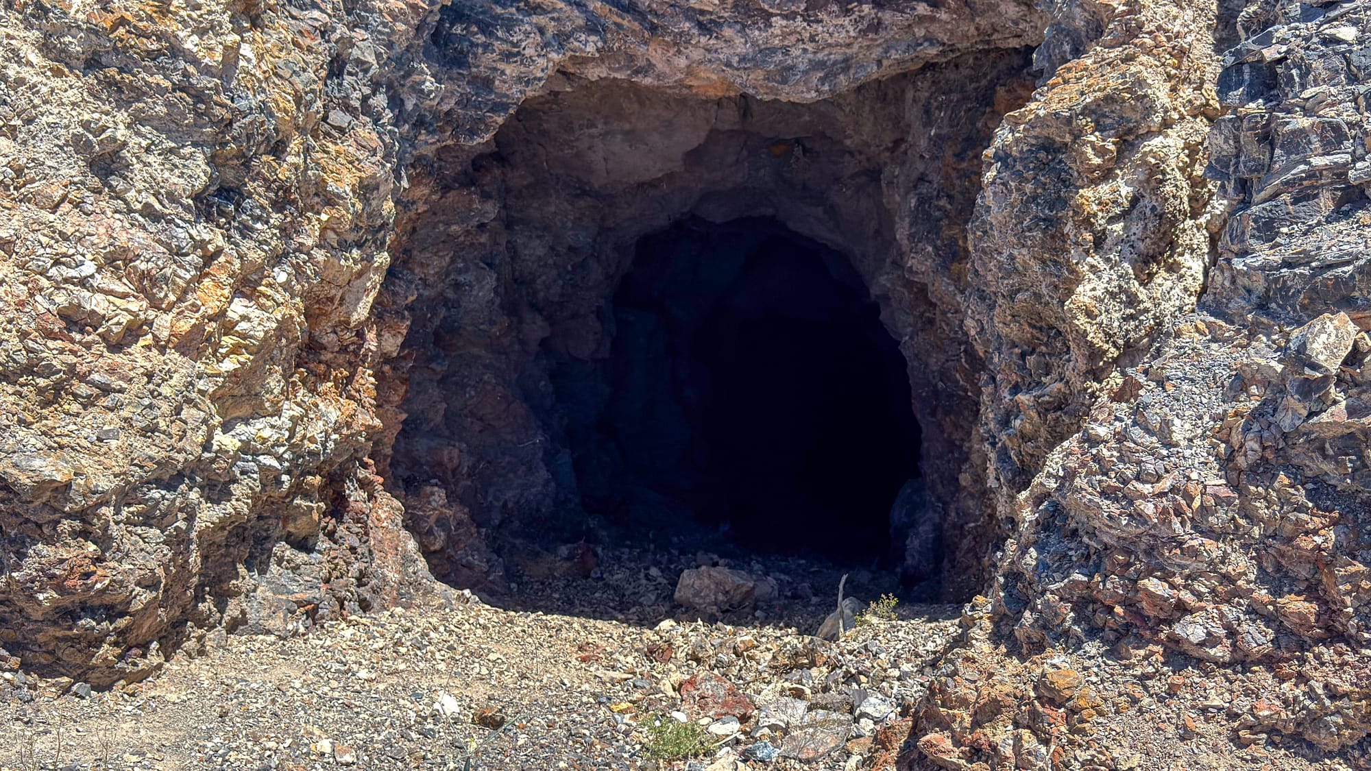
What's on the Ground
As of the late 1960s, the main camp area still had five standing cabins. We didn't see anything still standing. A few ruins and a couple structures had a wall or so intact, but nothing could be described as a building. There is water tank in the southwest corner of the district which is where we parked in case you want a landmark.
The rail connection at Klondike Well, four miles southwest, served the Tonopah and Goldfield Railway and provided water both for rail operations and for the camp up the hill. An 1904 travel guide noted that the station offered accommodations for travelers and their animals. By any measure that was the more durable of the two nodes, water and rail access will outlast any ore body.
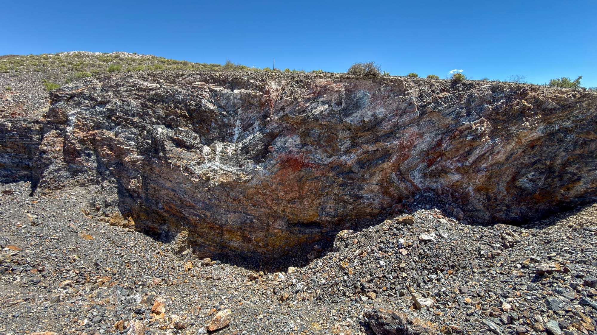
The Geology
The district sits within the Walker Lane Mineral Trend, the broad northwest-trending structural belt that runs through central Nevada and accounts for an outsized share of the state's historic precious metals production. The Walker Lane trend as a whole has produced more than 50 million ounces of gold and hundreds of millions of ounces of silver from structurally controlled epithermal deposits.
At Klondyke, the picture is more complex than a single deposit type. There are older thrust-related structures associated with mesothermal-style silver mineralization, and a younger set of Walker Lane structures associated with epithermal-style gold mineralization. The intersection of these two structural systems within a single project area is geologically interesting. It is the kind of thing that exploration geologists notice.
Modern interest in the district has reflected this. Pershing Resources consolidated around 1,000 acres covering six historically documented gold and silver mineral occurrences as recently as 2021. Compilation and geophysical work has been ongoing. The district has not exhausted what might be in it.
One More Thing
The district produced gold and silver. It also produced something else, something that does not appear in most summaries of the area's mineral history, something with a very specific color that tends to attract attention when it shows up in old records.
I will leave it there.
Getting There
The Klondyke Hills lie roughly along the Highway 95 corridor between Tonopah and Goldfield, in Esmeralda County. The terrain is remote high desert. This is BLM land. Standard desert backcountry considerations apply: water, navigation, awareness of the season. Summer temperatures in this part of Nevada are serious. The old camp site at approximately 37.914°N, 117.211°W is on public land, but mine workings anywhere in the district should be approached with caution. Old shafts in this region are frequently unmarked and can be obscured by brush or decades of weathering.
The district rewards people who are paying attention. It always has.
References
Nevada State Bureau of Mines. Placer Mining in Nevada. 1936.
Chipp, Eddie Ray. "Geology of the Klondike District." Graduate thesis, University of Nevada, Reno, 1969.
Grover, David H. Diamondfield Jack: A Study in Frontier Justice. University of Nevada Press, 1968.
Western Mining History. "Klondike, Nevada." westernmininghistory.com
USGS Mineral Resources Data System (MRDS). Bell and Court Mine, Deposit #10044579; Smith Black Matrix Mine, Deposit #10046728; Helen Claims, Deposit #10046746.
Nevada Bureau of Mines and Geology. Minerals of Nevada. Special Publication 31, 2004.
Pershing Resources Company. Press releases re: Klondyke Gold and Silver Project, February 2020 and January 2021. OTC Pink: PSGR.
Nevada Division of Historic Preservation and Archaeology. State Historical Marker No. 251: Diamondfield Jack Davis.
USGS MRDS. Tonopah District, Deposit #10310396.