Cuprite Hills, Esmeralda County

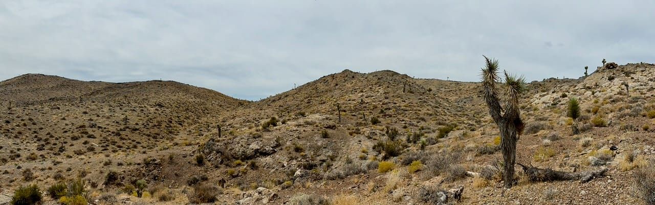
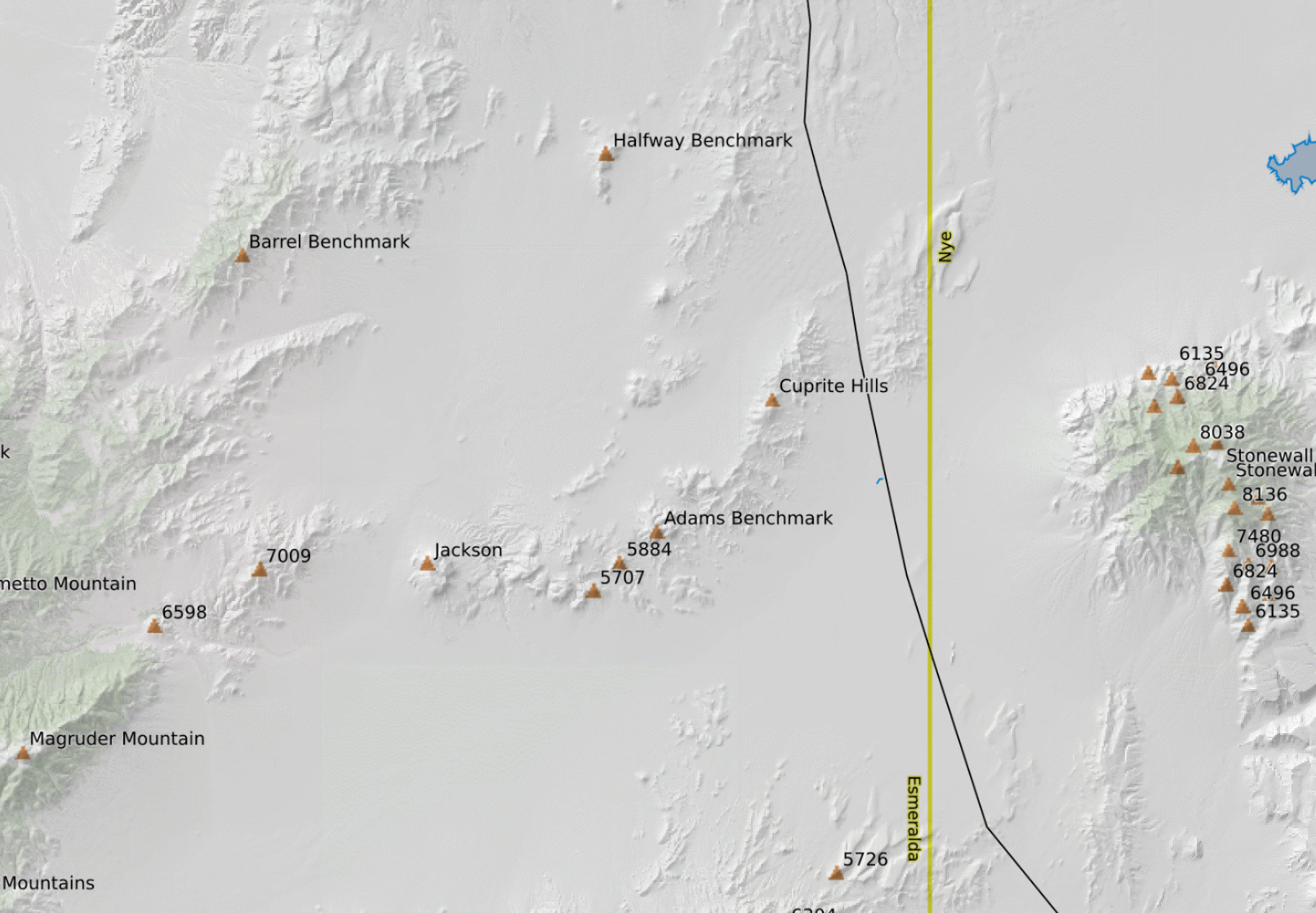
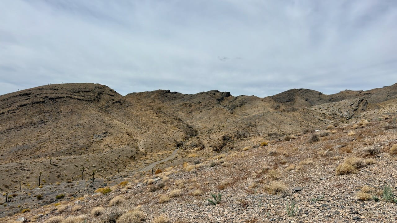
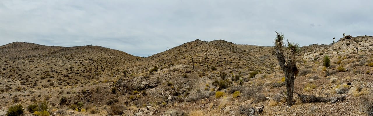
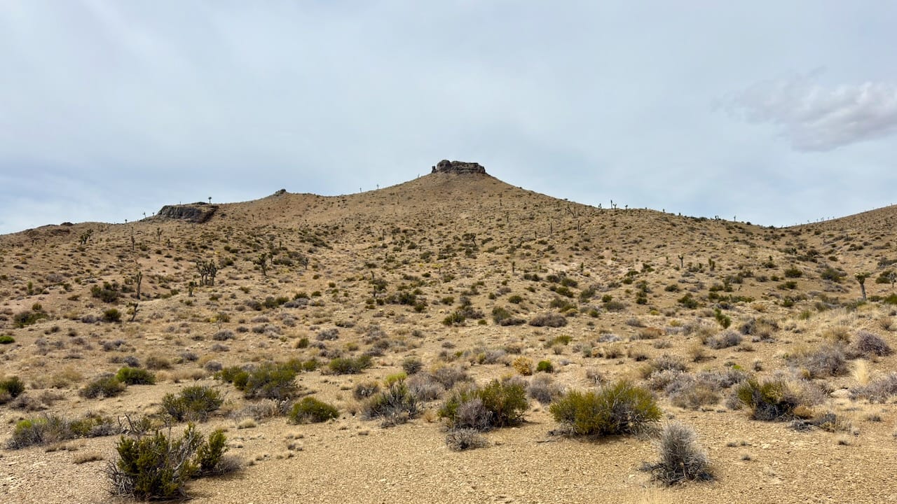
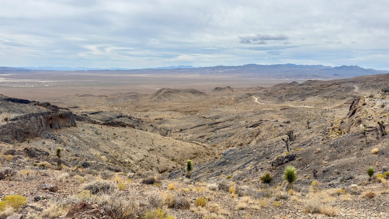
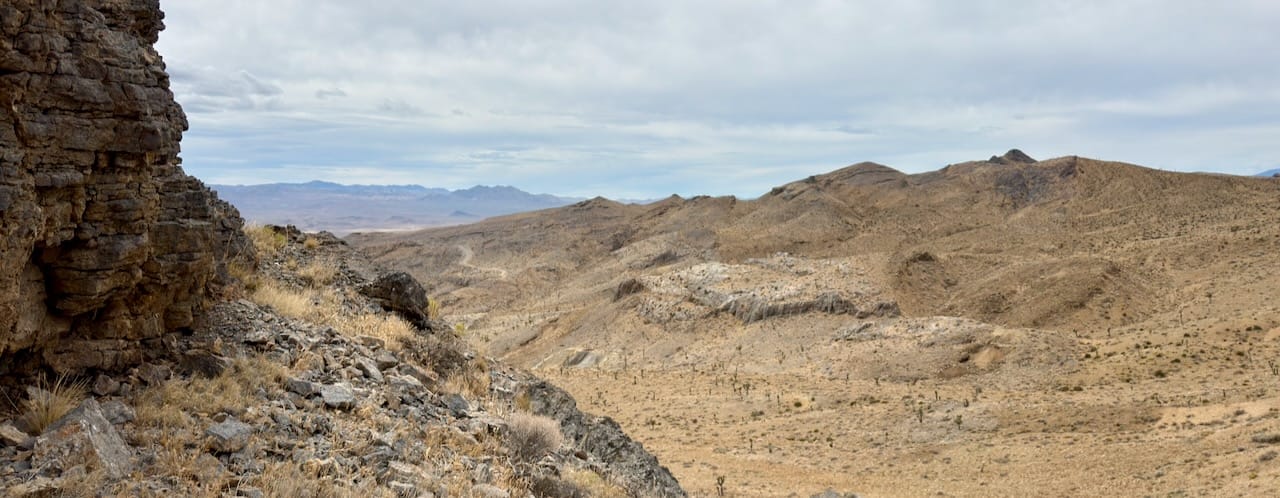
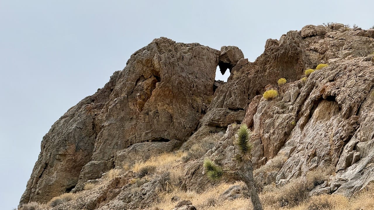
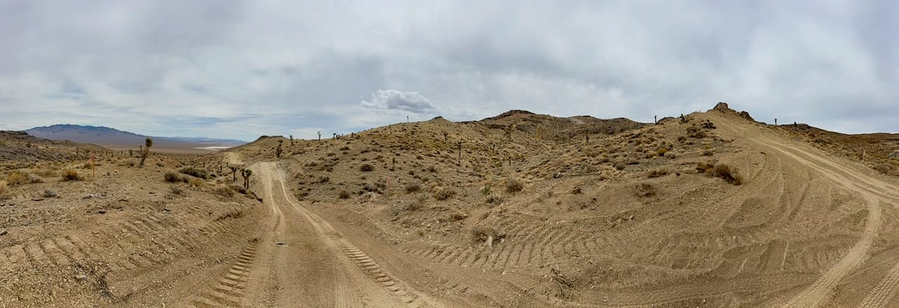
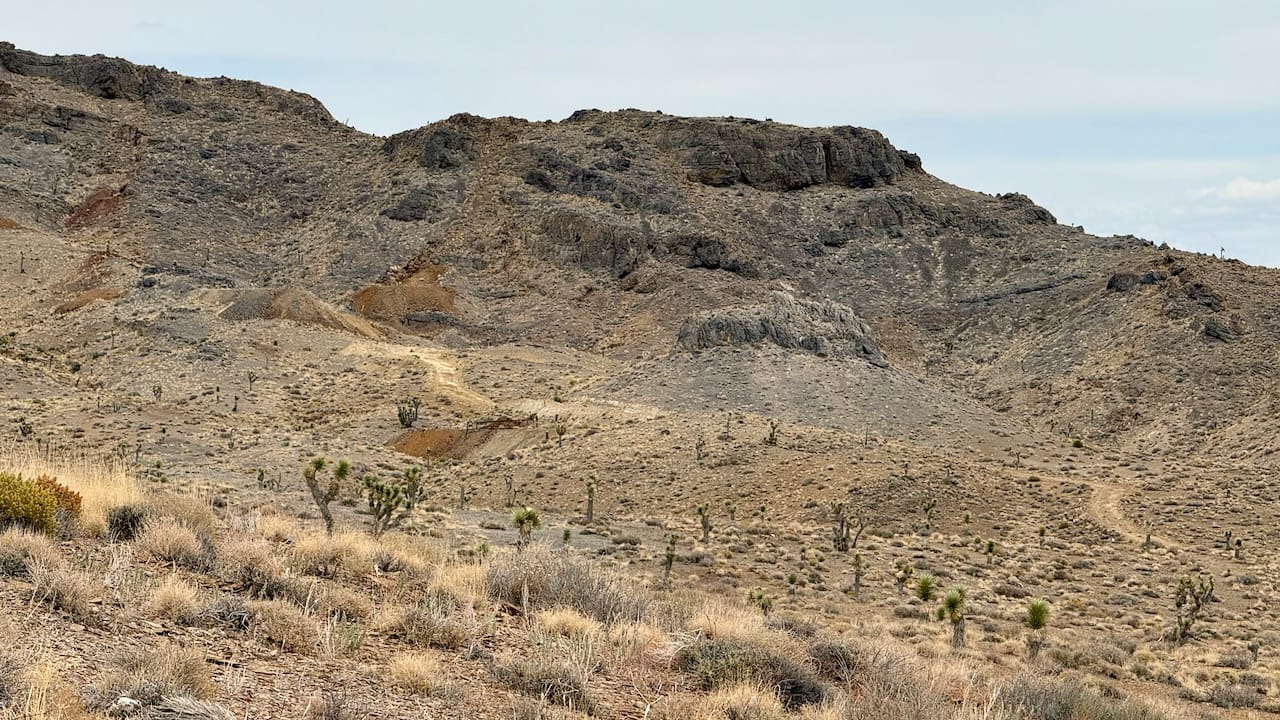
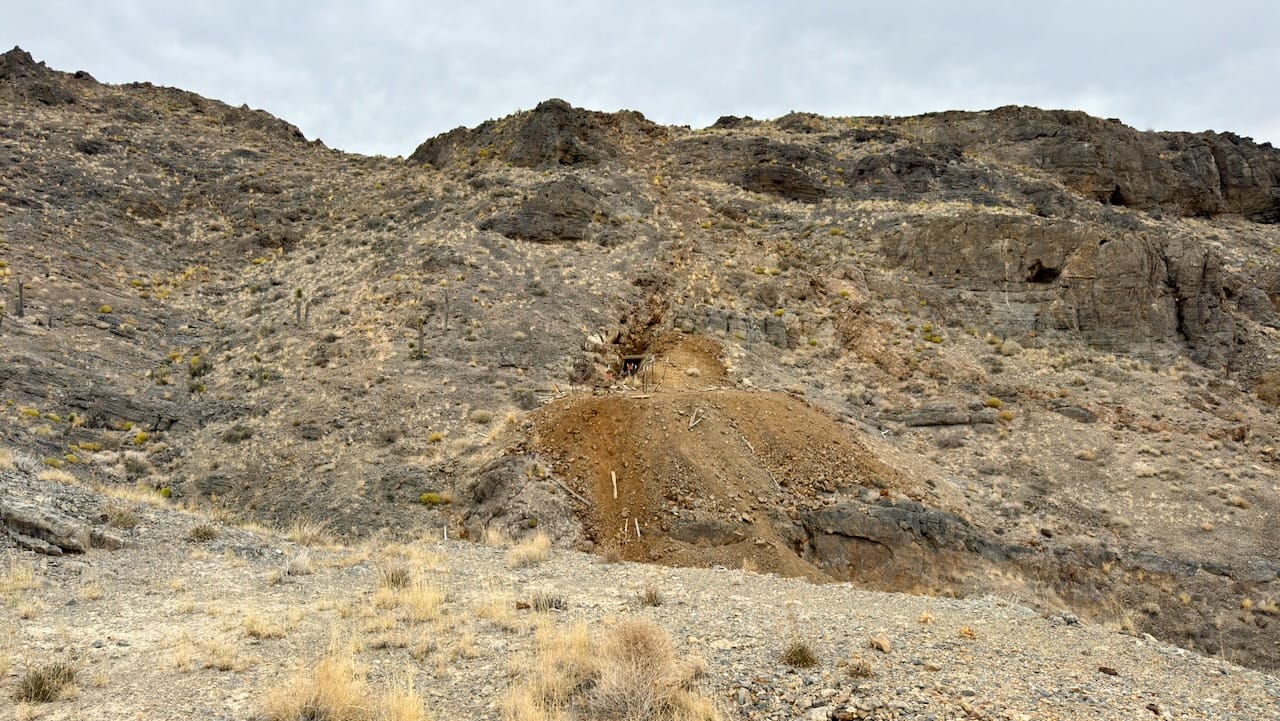
The Cuprite Hills are a low, northeast-trending desert range in southern Esmeralda County, about 12 miles south of Goldfield. They lie immediately west of U.S. 95, northwest of Lida Junction, and along the northern side of Lida Valley. Mount Jackson Ridge continues southwest from the hills; Ralston Valley and the Esmeralda–Nye county line lie to the east.
The USGS/GNIS reference point is approximately 37.52493° N, 117.23424° W, at about 6,027 feet elevation. It appears on the Ralston, Nevada, 7.5-minute quadrangle. The local high point is approximately 6,100 feet.
The Cuprite Hills are one of those deceptively quiet Nevada landscapes with several histories layered together: Indigenous homeland, mining boom, railroad stop, and, unexpectedly, a globally important remote-sensing laboratory.
The human history begins long before mining. The hills lie within the traditional homeland of the Newe, or Western Shoshone, whose country covered much of the central Great Basin. Published sources specific to Indigenous use of the Cuprite Hills are scarce, so it would be misleading to claim particular camps or trails without archaeological or tribal documentation.
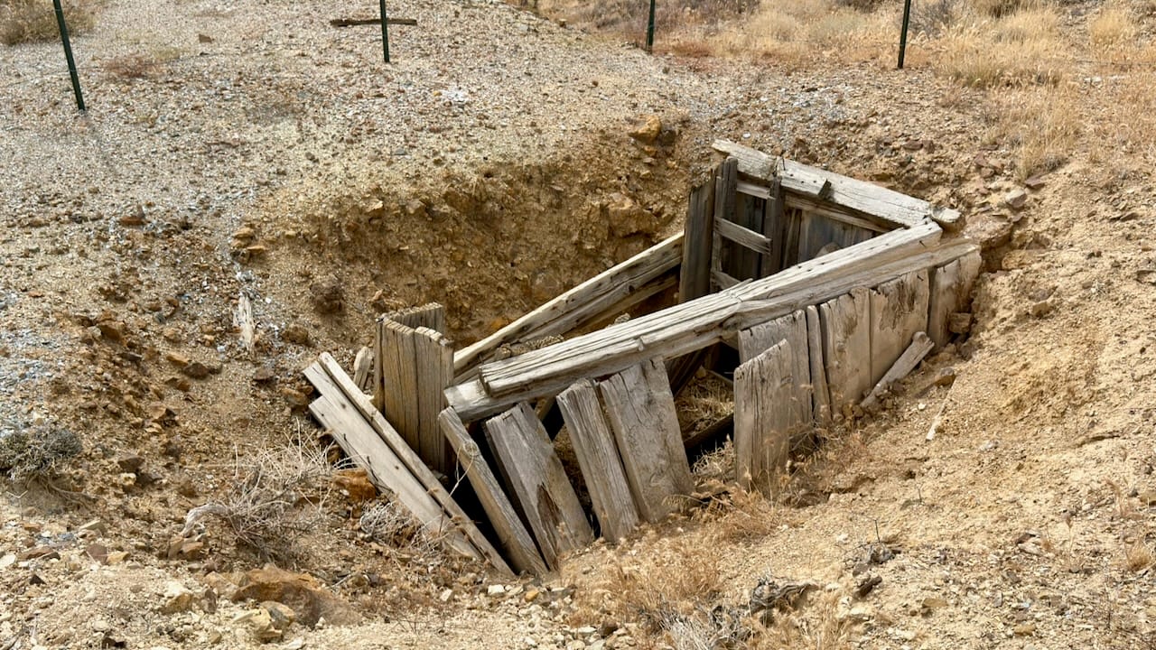
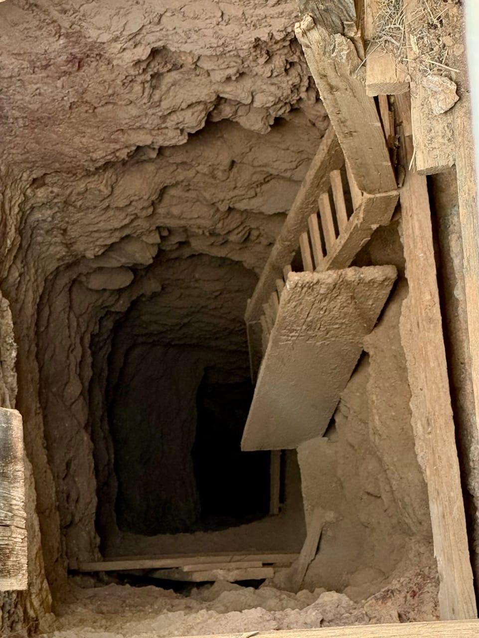
The modern name comes from cuprite, the red copper-oxide mineral. Copper ore was reportedly found nearby around 1902, and Nevada mining records date the formal Cuprite district’s discovery to 1905, amid the Goldfield and Bullfrog rushes. The district extended northeast from Mount Jackson through Mount Jackson Ridge and the Cuprite Hills. Prospectors pursued copper, gold, silver, and lead; later records also mention mercury, sulfur, silica, clay, barite, and manganese. Actual production appears to have been modest and scattered rather than the basis of a major sustained mine.
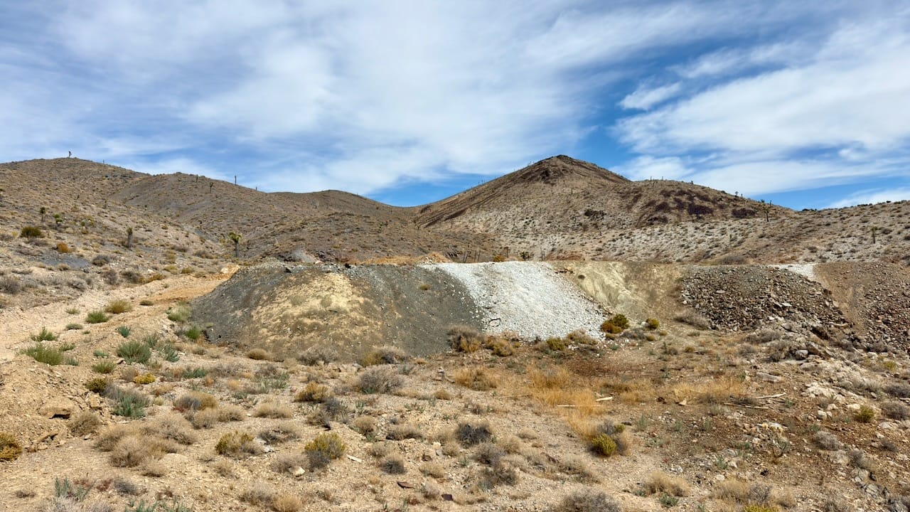
A small settlement called Cuprite developed near the present highway 95 corridor. A saloon and travelers’ inn appeared around 1904, serving traffic headed toward the Bullfrog boom. After the Bullfrog Goldfield Railroad arrived in 1906, Cuprite became a station and shipping point for Lida, Palmetto, Hornsilver, and surrounding camps. Its post office operated from April 1907 through July 1909. By about 1910, after the neighboring booms subsided, little remained beyond a roadhouse, garage, and saloon.
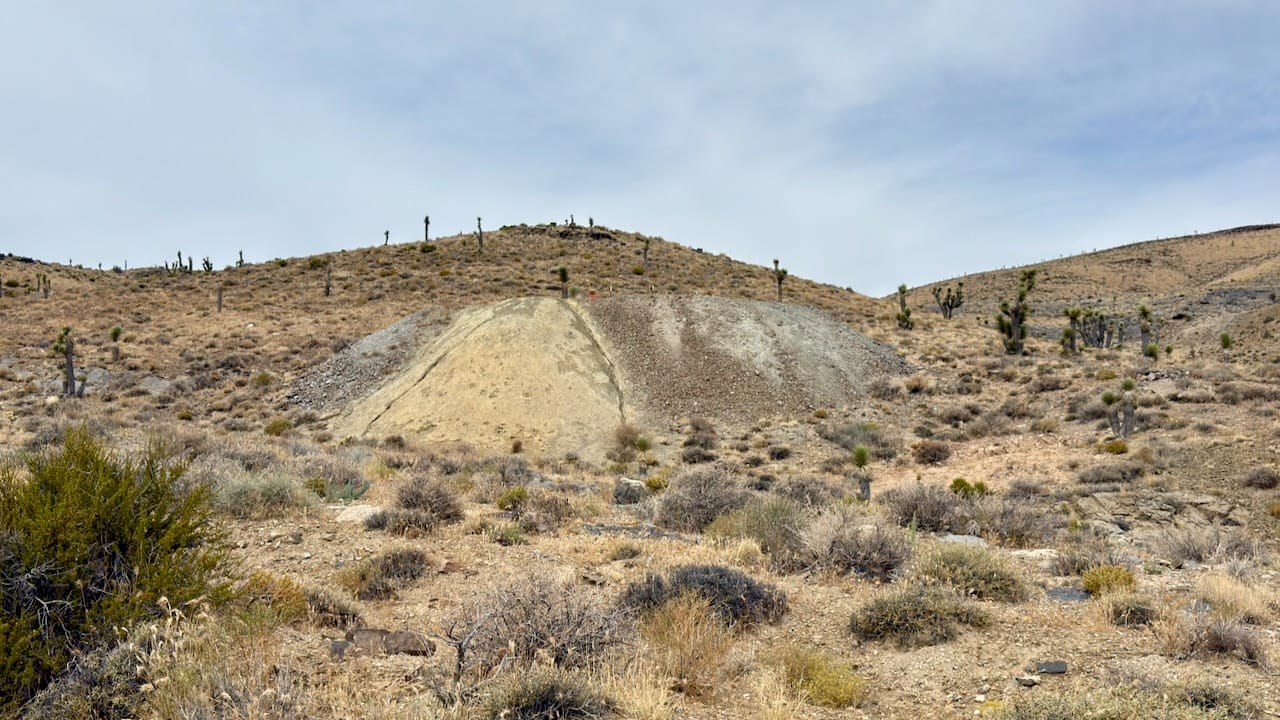
The colorful geology predates all of that. Around 7.6–6.2 million years ago, hot, acidic fluids circulated through faults associated with the nearby Stonewall Mountain volcanic complex. They altered the rocks into conspicuous zones rich in silica, alunite, kaolinite, dickite, jarosite, and iron oxides. Cambrian sedimentary rocks dominate much of the western alteration center, while younger volcanic rocks occur to the east. This is why the hills can show such striking white, cream, yellow, red, and orange exposures.
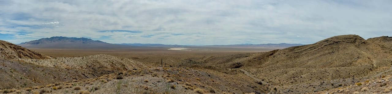
That exceptional exposure, and the almost complete lack of vegetation, made Cuprite one of the world’s classic test grounds for imaging spectroscopy. Since roughly the early 1980s, NASA and USGS researchers have repeatedly flown instruments over the hills to test whether aircraft and satellites can identify minerals from reflected light. Cuprite helped validate AVIRIS and later satellite mineral-mapping techniques now used in planetary science and mineral exploration worldwide.
References
Nevada Division of Water Resources. 2020. “BLM Public Land Survey System.” ArcGIS Map Service, using data provided by the Bureau of Land Management and FGDC Cadastral Subcommittee. Accessed August 29, 2026. PLSS map service.
Tingley, Joseph V. 1998. Mining Districts of Nevada. 2nd ed. Nevada Bureau of Mines and Geology Report 47. Reno: University of Nevada, Reno. Publication record and download.
U.S. Geological Survey. 2011. Ralston Quadrangle, Nevada—Esmeralda and Nye Counties. US Topo 7.5-Minute Series, scale 1:24,000. Reston, VA: U.S. Geological Survey. Geospatial PDF.
U.S. Geological Survey, National Geospatial Program. n.d. “Cuprite Hills, Esmeralda County, Nevada.” Geographic Names Information System. Coordinates referenced to NAD 83. Accessed August 29, 2026. GNIS database.
Nevada Bureau of Mines and Geology. “Cuprite District.” Digital Mining District Files. University of Nevada, Reno. Accessed August 29, 2026. Digital collection.
Nevada Expeditions. “Cuprite, Esmeralda County.” Accessed August 29, 2026. Cuprite history. This is a secondary compilation citing Paher, Carlson, and Gamett and Paher.
Swayze, Gregg A., et al. 2014. “Mapping Advanced Argillic Alteration at Cuprite, Nevada, Using Imaging Spectroscopy.” Economic Geology 109. USGS publication record.
U.S. Geological Survey and NASA. 1994. “Integrating Remote Sensing Techniques at Cuprite, Nevada: AVIRIS, Thematic Mapper, and Field Spectroscopy.” NASA Technical Reports Server. Publication record.